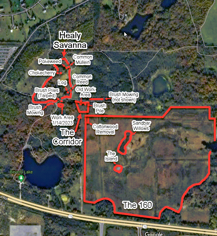
Retrieved January 21th, 2023 from https://www.google.com/maps/search/poplar+creek/@42.089043,-88.2232479,1973m/data=!3m1!1e3
South of Healy Savanna
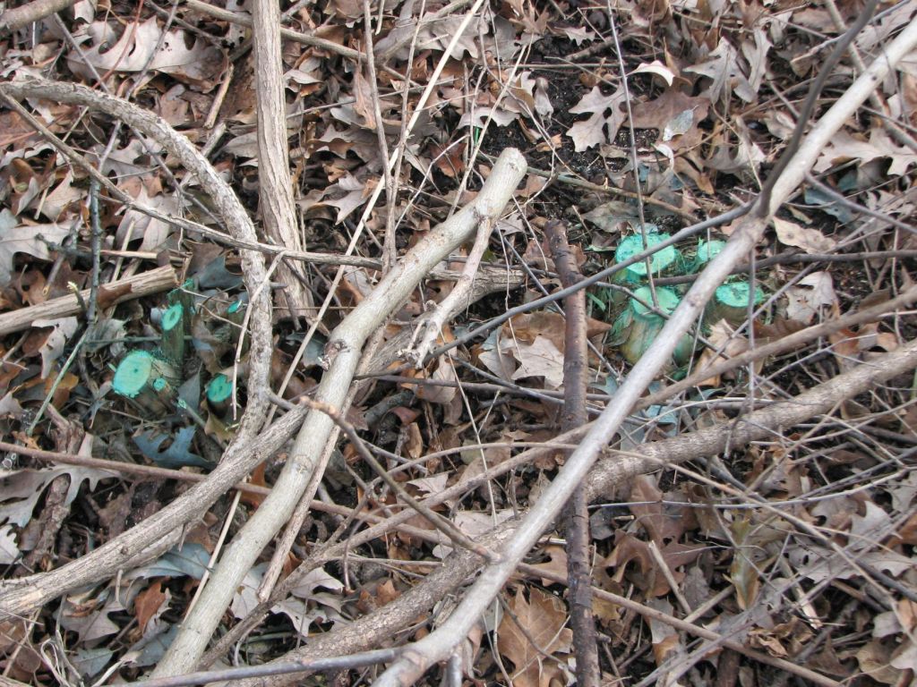
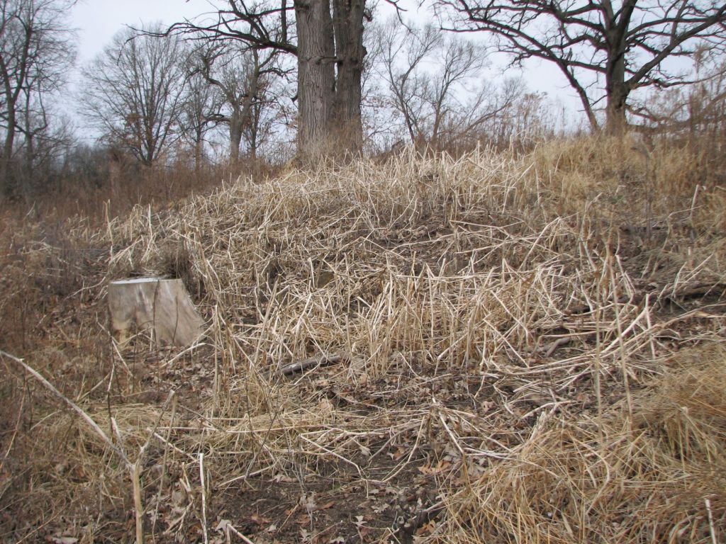
The below image is of the work area from the workday on 1/14/2023. This is on the ridge south of Healy Savanna.
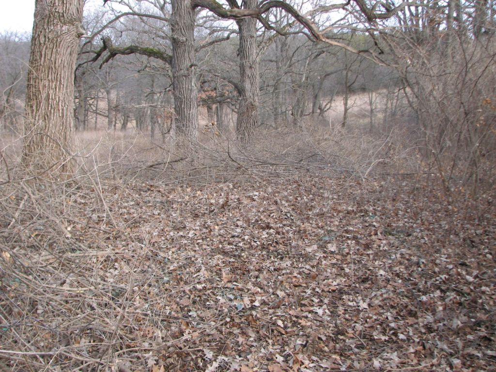
In this work area both Asian bush honeysuckle and common buckthorn were treated with herbicide. Rain occurred two days after the herbicide was applied. This will be important when seeing the impact of this herbicide application on vegetation later.
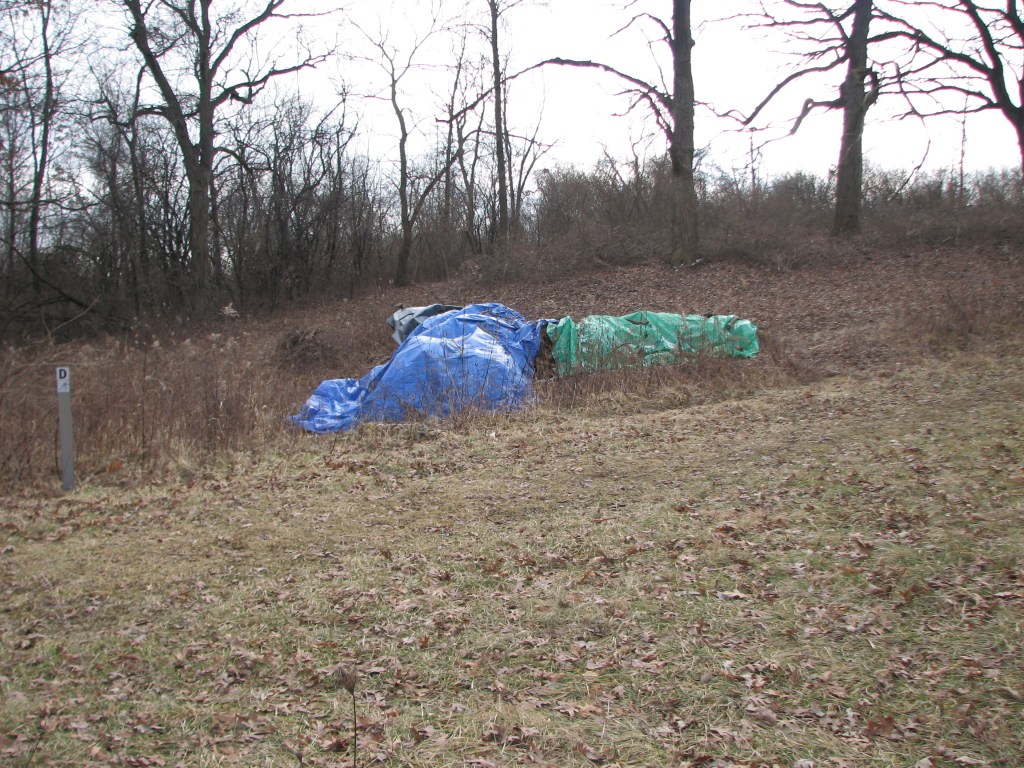
Here are some existing brush piles that were down slope and to the left of the work area. They are covered with tarps so they will be easy to burn later.
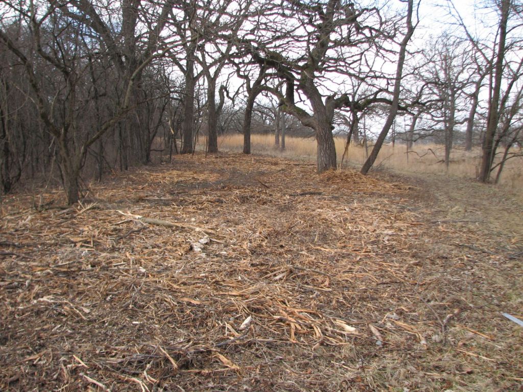
This is west of the above work area. This is where brush has been mowed along the trail.
Healy Savanna
Walking through Healy Savanna, I saw a lot of sprouting Asian Bush Honeysuckles. However, when I tried to push them over with my foot they snapped off. When the sprouts snap off, I know they are dead.
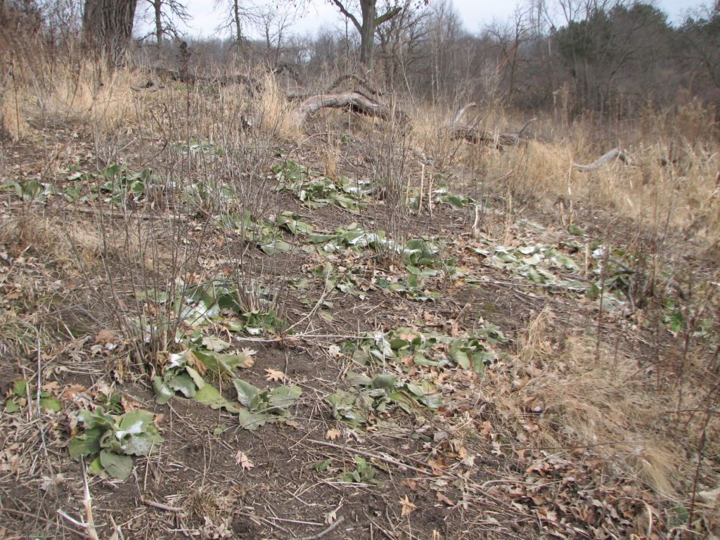
These images show pokeweed (Phytolacca americana) and common mullein (Verbascum thapsus). These species have colonized a south facing slope in the northeast area of Healy Savanna. This area is where invasive species had been controlled with herbicide.
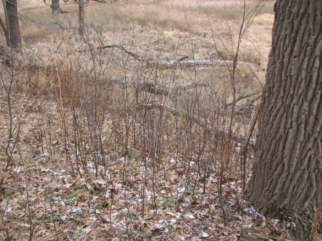
The below is an image of a small area where I volunteered in May of 2015. I either pulled, or used a weeding tool to remove, seedling/small buckthorn, garlic mustard, and Kentucky bluegrass. The chokecherry (Prunus virginiana) in this area remains. This is despite lots of control work occurring on the similar looking common buckthorn (Rhamnus cathartica). It makes me happy to see the chokecherry is still there and there are lots of sedges.
I manually removed invasive species from this area. As a result, it acts as an inadvertent control. This contrasts with surrounding areas where invasive species were later foliar sprayed with herbicide.
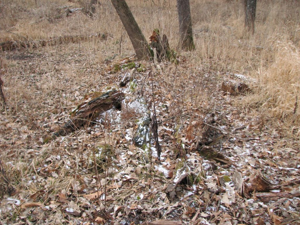
This log is in the advanced stages of decay. I take pictures of these logs when I come across them. I hope people will leave them and not burn them in brush piles.
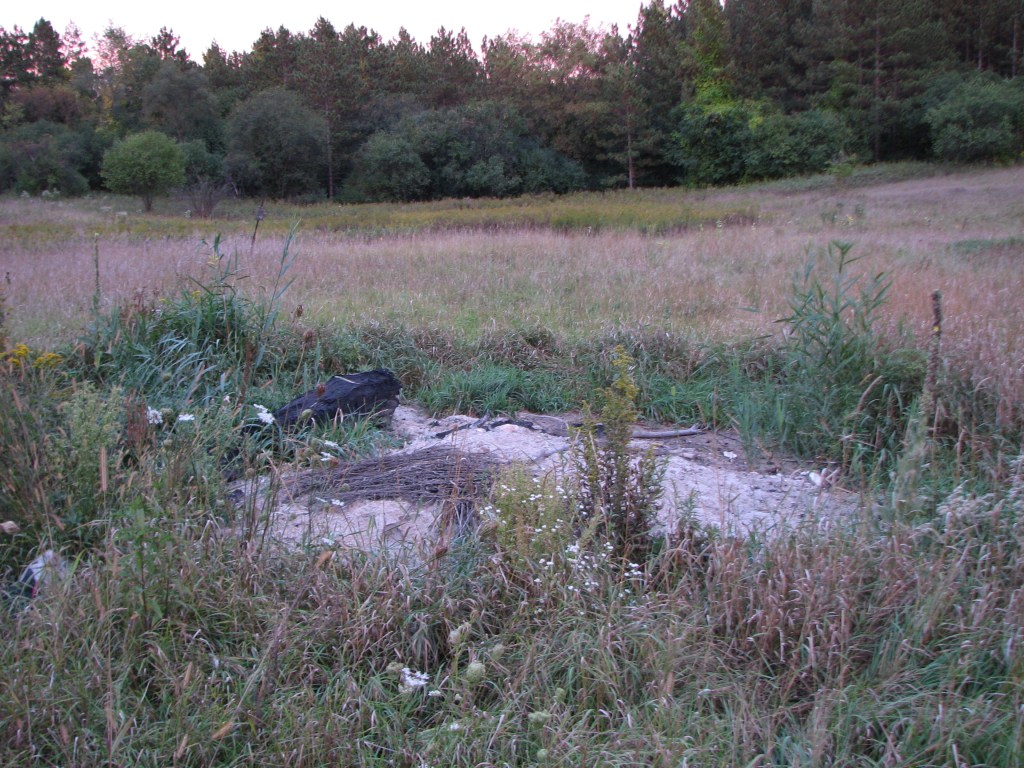
I took this picture of a burn scar five and a half years ago. It was on the east side of Healy Savanna toward the south.
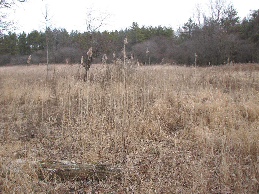
Here is what the above burn scar looks like today from a slightly different angle. The common reed (Phragmites australis) has expanded.
The Corridor
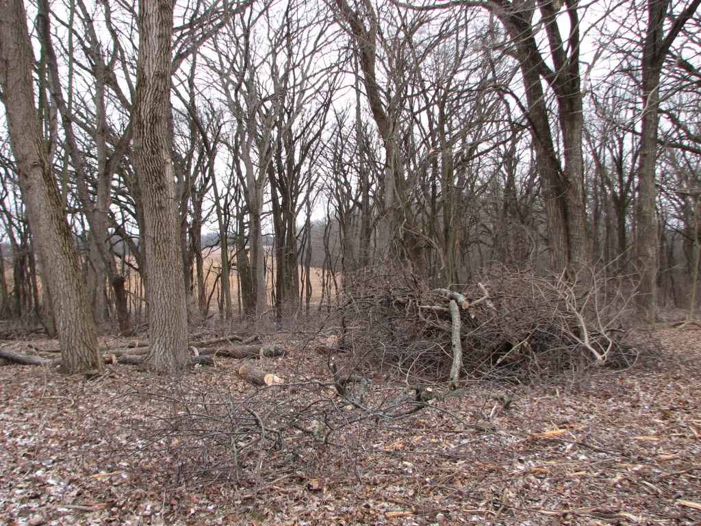
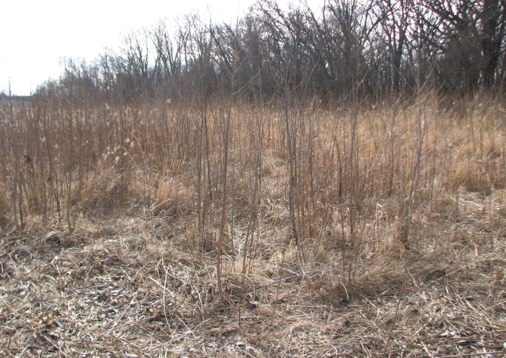
This is a work area on the north side of what the stewards call the corridor. The corridor is a section where invasive species have been removed connecting an area southeast of Healy Savanna to the 160. In the background you can see the density of invasive species that has been removed from this area.
Here is a brush pile to the east of the above work area.
The 160
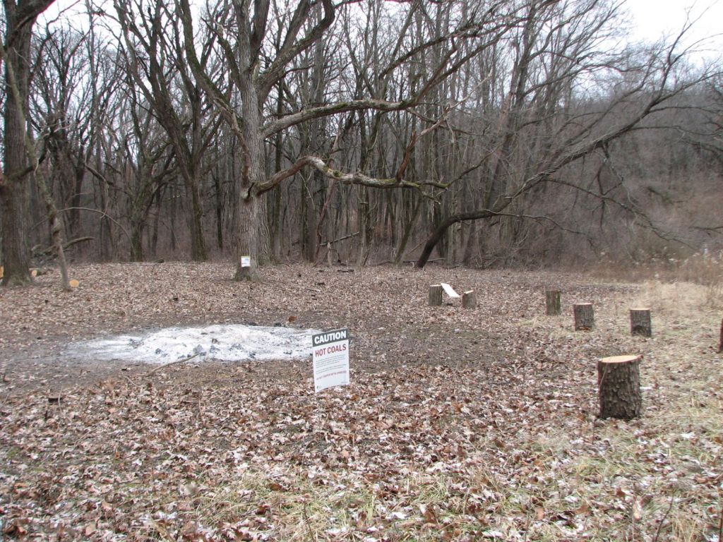
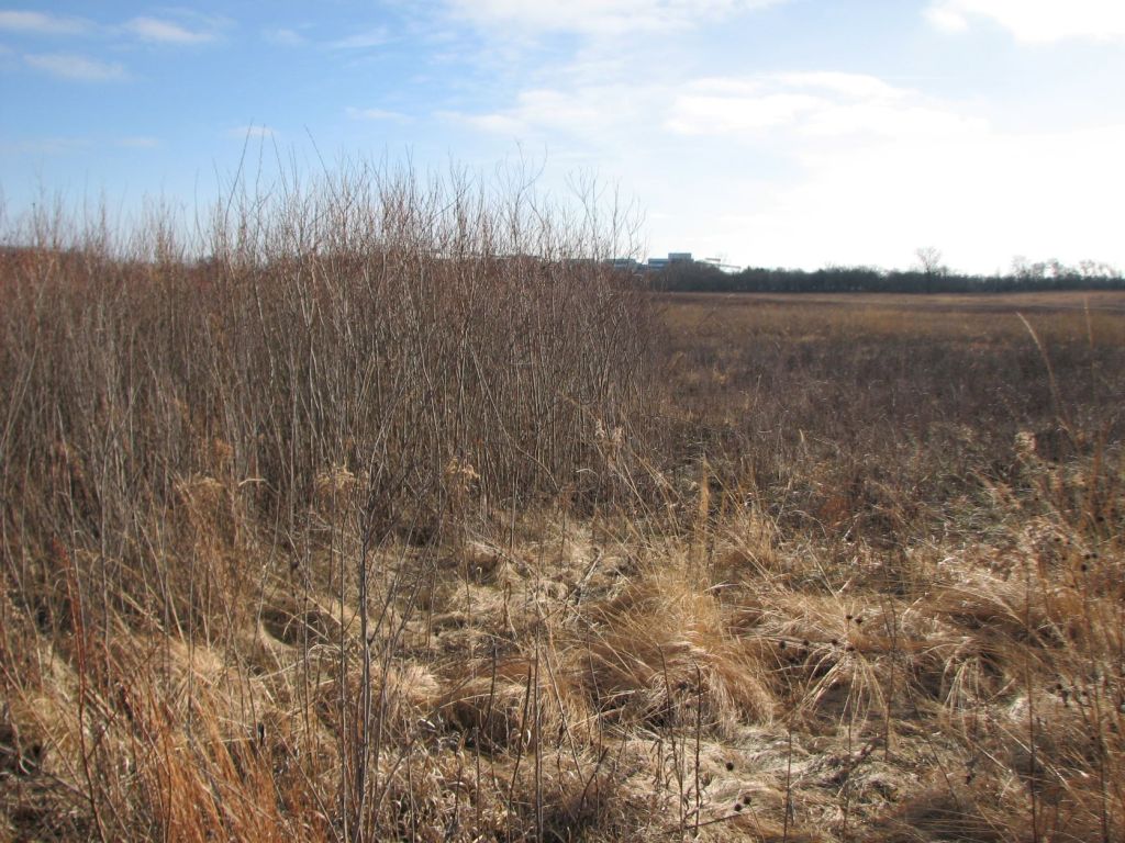
This is a work area on the northwest side of the 160. The 160 is a 160-acre farm field where prairie reconstruction has occurred. This prairie reconstruction is north of Healy Road and east of the Beverly Lake parking lot. In this area, cottonwoods have been cut where they are encroaching into the prairie reconstruction.
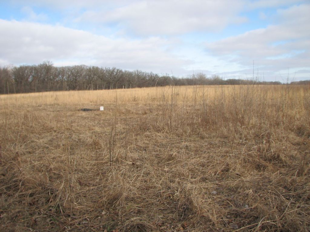
Looking toward the work area.
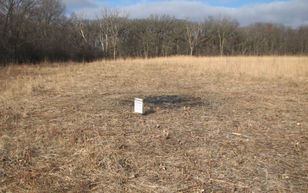
Looking away from the work area.
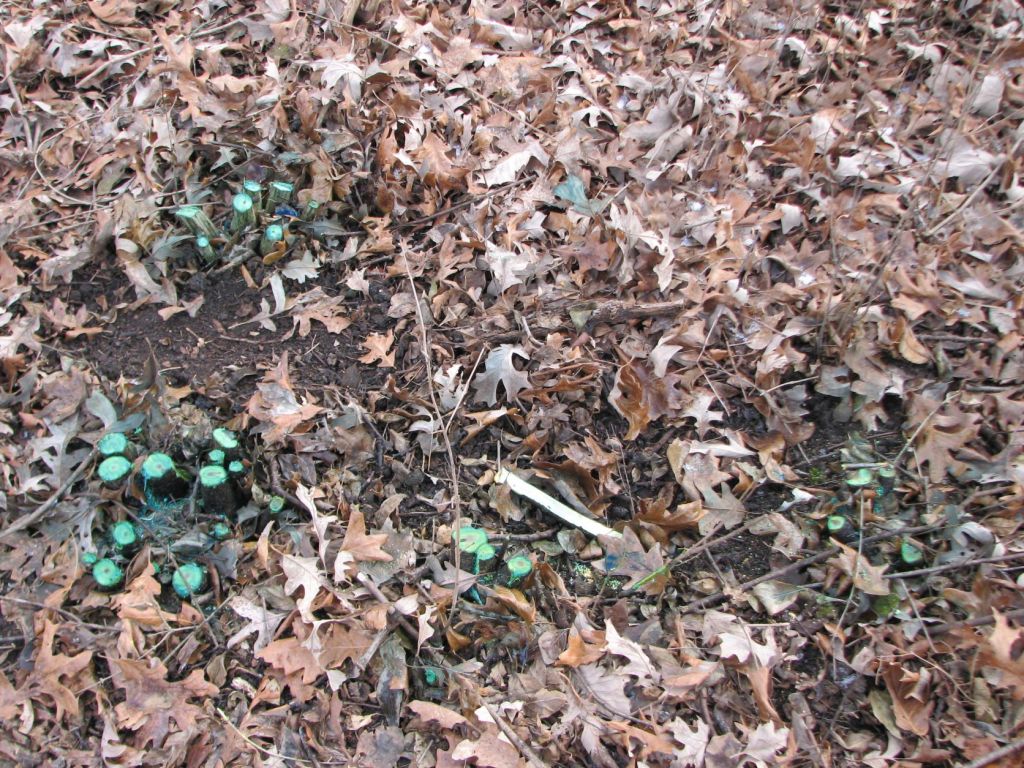
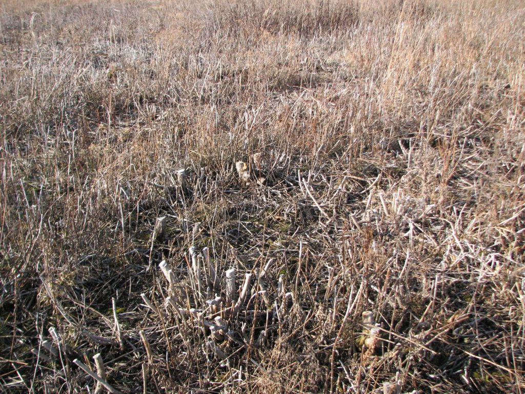
View close enough to see all the small stumps around the ash pile.
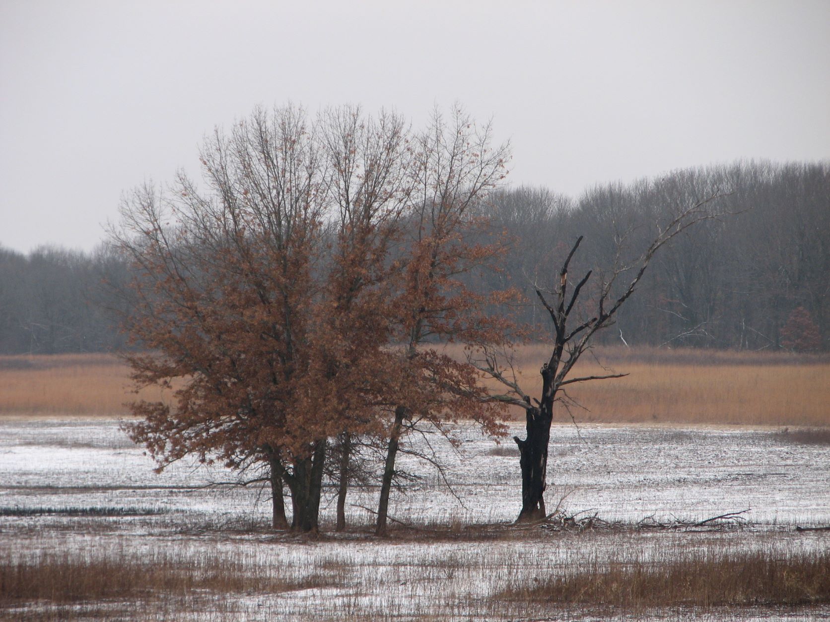
Wetland at the 160
This is the edge of where the sandbar willows have been mowed.
These are stumps of sandbar willows and cottonwoods that have been treated with herbicide and killed.
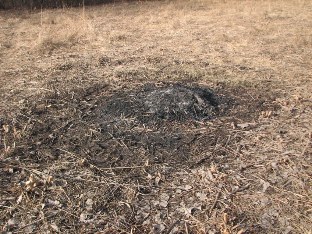
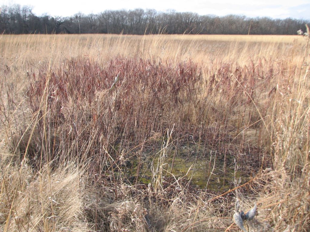
I noticed this patch of dark reddish brown from a distance. When I went to investigated, I realized this is a dense patch of common dogbane (Apocynum cannabinum). This dense patch formed in charcoal and ash left from burning brush. This is located on the “island” which is in the wetland at the 160.
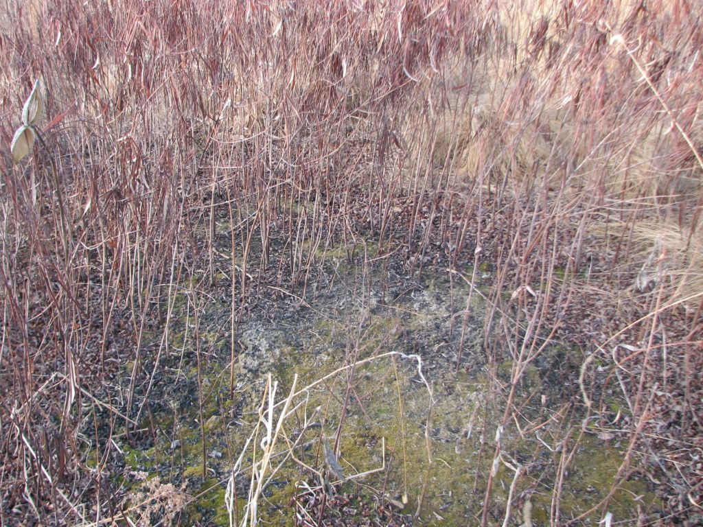
Closer view of the above so you can see the charcoal and ash.

Leave a comment