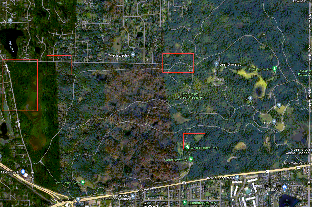
The areas outlined in red are where I visited today.
Retrieved February 11th, 2023 from https://www.google.com/maps/place/Deer+Grove+Forest+Preserve/@42.1436443,-88.0891299,2344m/data=!3m1!1e3!4m5!3m4!1s0x880fa3f9b3409f8b:0xe71e4f18f6f6fe3f!8m2!3d42.1436957!4d-88.077862?hl=en
As you look through the pictures, notice the difference in the amount of downed wood left to decompose in areas being managed by different people.
North of Camp Alphonse
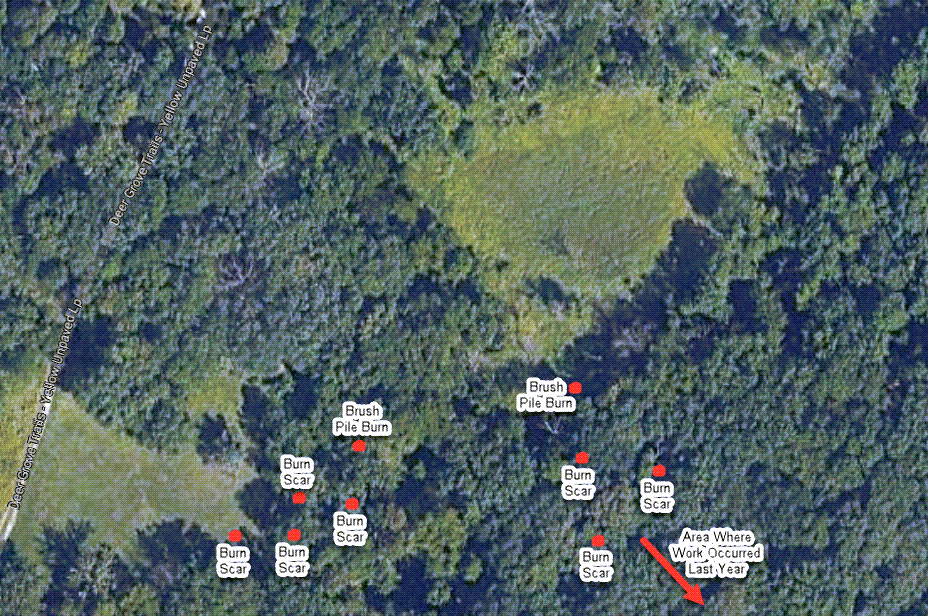
The below map shows where the burn scars from previous workdays and brush pile burns from today’s workday are located.
Retrieved February 12th, 2023 from https://www.google.com/maps/search/deer+grove+forest+preserve/@42.1394962,-88.0781362,246m/data=!3m1!1e3?hl=en
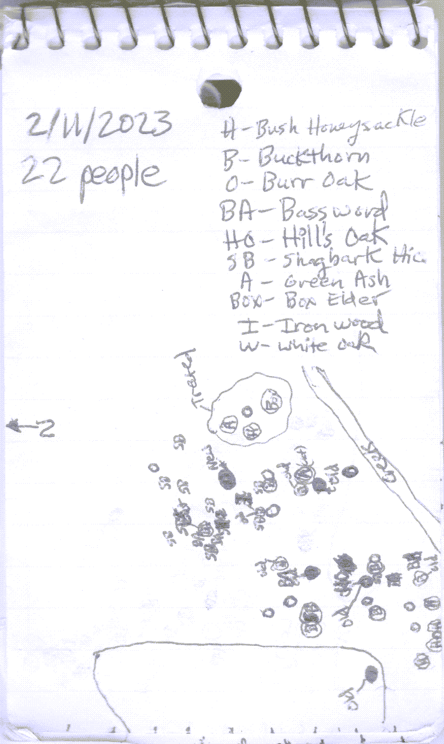
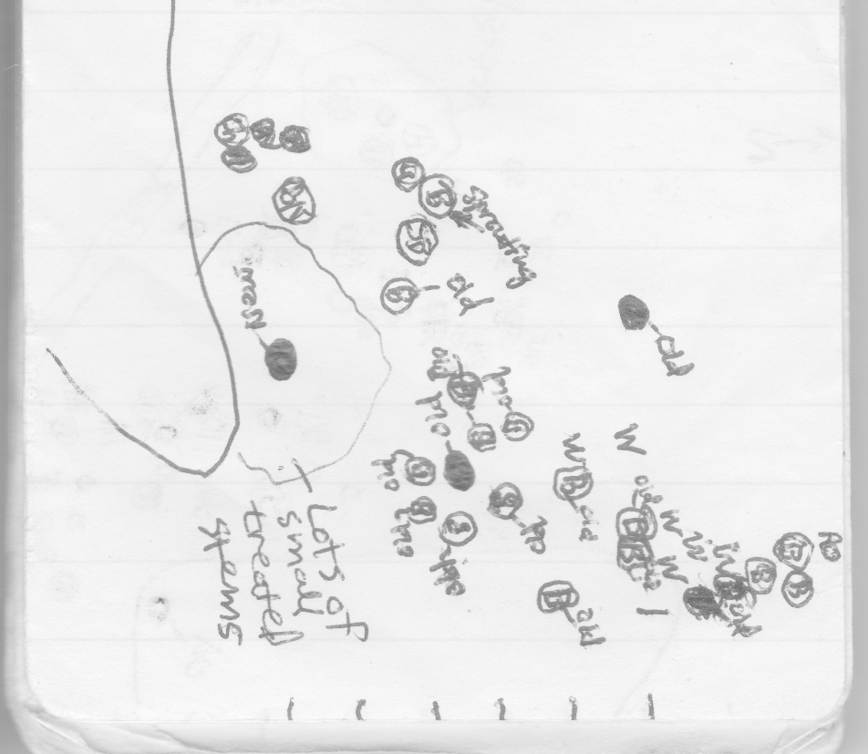
The below are the notes from my visit. I mapped out the larger trees and the invasive species that had been cut. A circle around the letter/s designating a species means it had been cut. Only a few of the stumps near the western brush pile burn were treated. These stumps are in a circle.
This is the map I made using the same system for the area around the eastern brush pile burn. Woody invasive species were cleared last year continuing east-southeast of the area mapped. There were lots of small stems treated around the brush pile burn. I am not sure of the species. However, the bark was smooth so these stems could have been green ash.
I believe the shrubs marked with surveyor’s tape are nanny berries (Viburnum lentago). It is nice to see that these quality native shrubs had been marked to be saved.
This is an Asian bush honeysuckle that had the cut surface of the stump coated with herbicide. My experience has been this is not nearly enough herbicide to kill either Asian bush honeysuckle or common buckthorn with Garlon 4 in basal oil. For uncut Asian bush honeysuckle and common buckthorn over an inch in diameter at ground level, I recommend coating an amount of stem length equal to twice the diameter at ground level.
Added 1/23/2026: I now apply triclopyr ester in basal oil to a length of stem equal to three times the diameter at the base for uncut common buckthorn. For invasive bush honeysuckle, I apply this herbicide to even more length of stem proportional to the diameter at the base. This is for stems larger than one inch. For stems smaller than one inch, the proportion of stem covered relative to the diameter needs to be even greater. See posts “Ring of Death,” Ring of Death: 2023/2024 Dormant Season Application,” and “Getting Basal Bark Application Right.”
I would normally suggest covering about five inches of stem length, but since the cut was coated, a lessor amount should be sufficient. Since the multi-stemmed stumps are only four or five inches high, they should be coated almost to the ground to get a high likelihood of successful control after the first treatment. For Asian bush honeysuckle and buckthorn that are less than an inch in diameter at ground level, I recommend an even higher proportion of stem length be covered. Currently, I am trialing coating stem lengths of three and four times the diameter of the stem at ground level for invasive species with a diameter at ground level of one inch or less.
The stump below looks like a box elder because one of the stems is an olive-green color. It is tough for me to identify trees when the tops have been cut off. My observations have been that the amount of Garlon 4 in basal oil applied would not be enough to kill a tree of this size. Since the bark is not very thick, coating the bark with herbicide would help. Although, I still don’t think it would be enough for successful control after the first treatment for a tough tree like box elder. This summer, the tree will produce a lot of sprouts with thin bark that can be coated with enough herbicide to finally achieve successful control next winter.
A light rain, that was just enough to wet the ground, occurred three days after the workday. Since the rain was not hard, it is likely little herbicide was splashed off the treated stems minimizing impacts to adjacent vegetation.

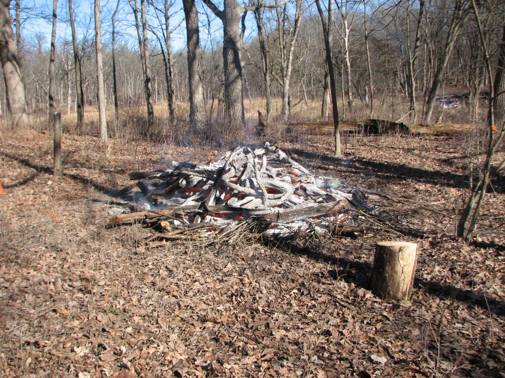
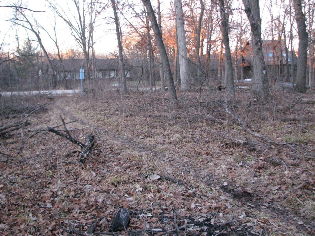
This is the western most brush pile at the end of the workday. Higher in the picture and to the right you can see the eastern most brush pile burned during today’s workday.
This is looking north of the western most brush pile burned at the workday.
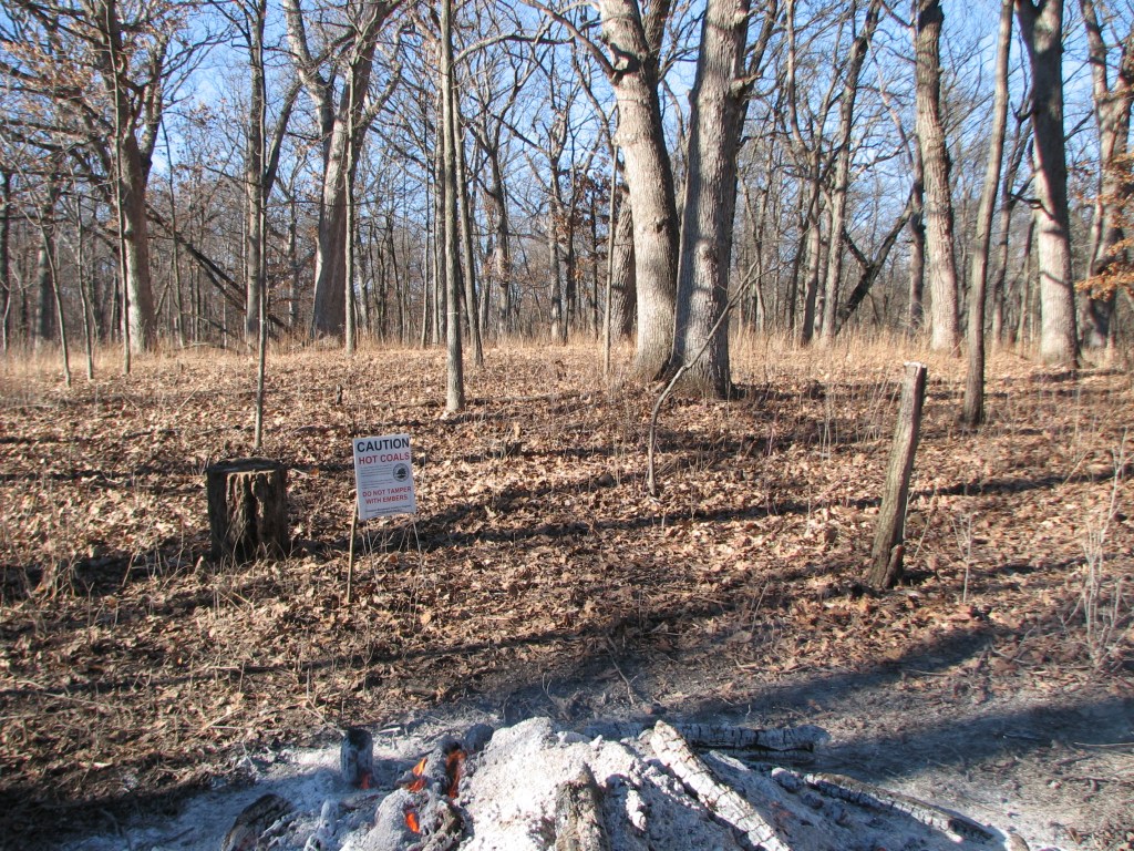
This is looking east of the western most brush pile burned at the workday.

This is looking south of the western most brush pile burned at the workday.

This is looking west of the western most brush pile burned at the workday. In the background is an open mowed area.

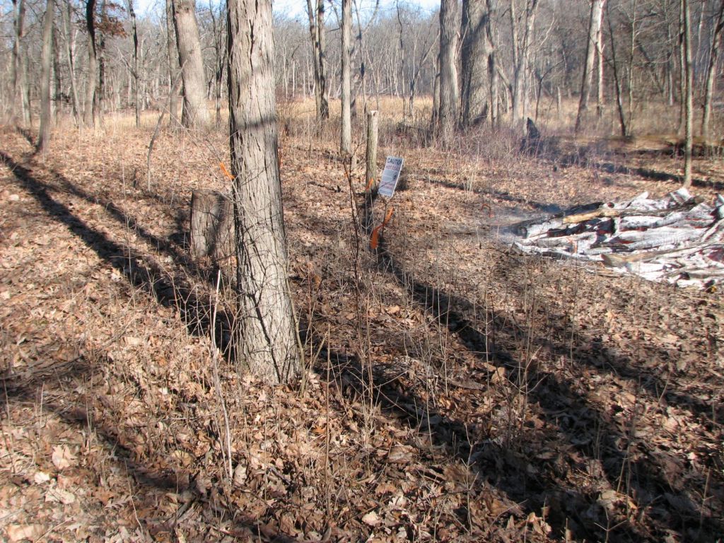
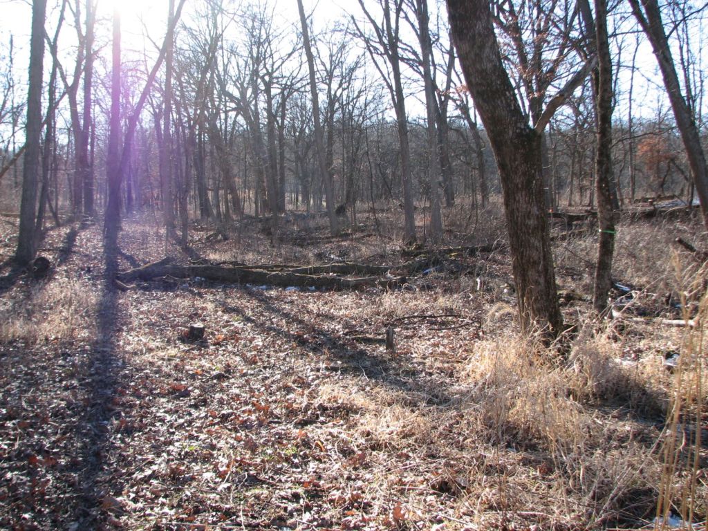
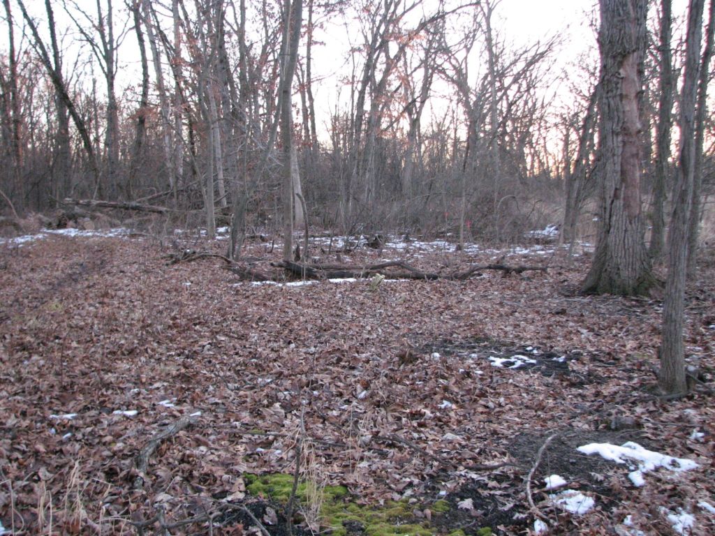
This is the view looking north-northwest of the eastern most brush pile burned at the workday. Not far beyond the brush pile is a wetland.

This is the view looking east-northeast of the eastern most brush pile burned at the workday. A lot of small stems were cut and treated with herbicide between the brush pile burn and the fallen log. I am not sure what was cut and treated with herbicide but they were probably green ash. On the other side of the fallen log a small black cherry tree (Prunus serotina) and what appears to be a few small green ash trees (Fraxinus pennsylvanica) were cut and treated.

This is the view looking south-southeast from the eastern most brush pile burned at the workday. The background is a nice view of white oaks.

This is the view looking west-southwest of the eastern most brush pile burned at today’s workday. The drainage from the wetland is visible cutting across the image diagonally.
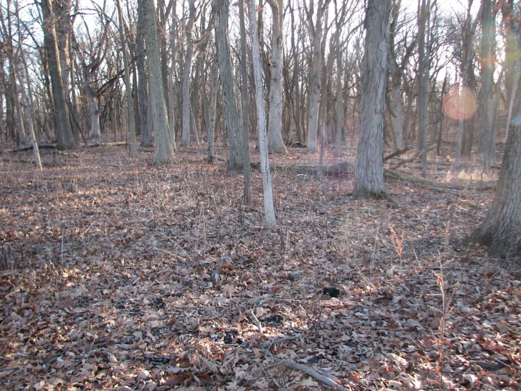
This is a view from further up the slope of beautiful white oaks.

From the asphalt circle to the end of Hillside Road
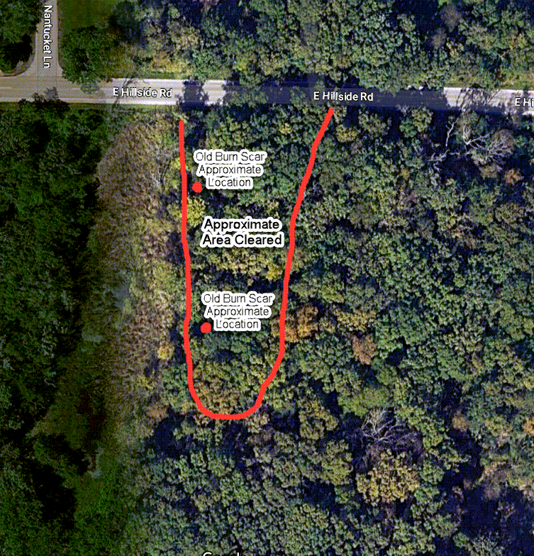
The below map shows an area where carpets of sedges have developed and an area where vegetation has colonized two old burn scars.

Google Maps. (n.d.). Deer Grove Forest Preserve,
Retrieved February 11th, 2023 from https://www.google.com/maps/place/Deer+Grove+Forest+Preserve/@42.1466711,-88.0799263,348m/data=!3m1!1e3!4m5!3m4!1s0x880fa3f9b3409f8b:0xe71e4f18f6f6fe3f!8m2!3d42.1436957!4d-88.077862?hl=en
A sedge (Carex blanda) has formed large round colonies in the area shown on the above map and as shown in the image below. I remember little grew on the ground in this area, other than sparse spring ephemerals, before invasive species were removed and thinning of trees occurred.

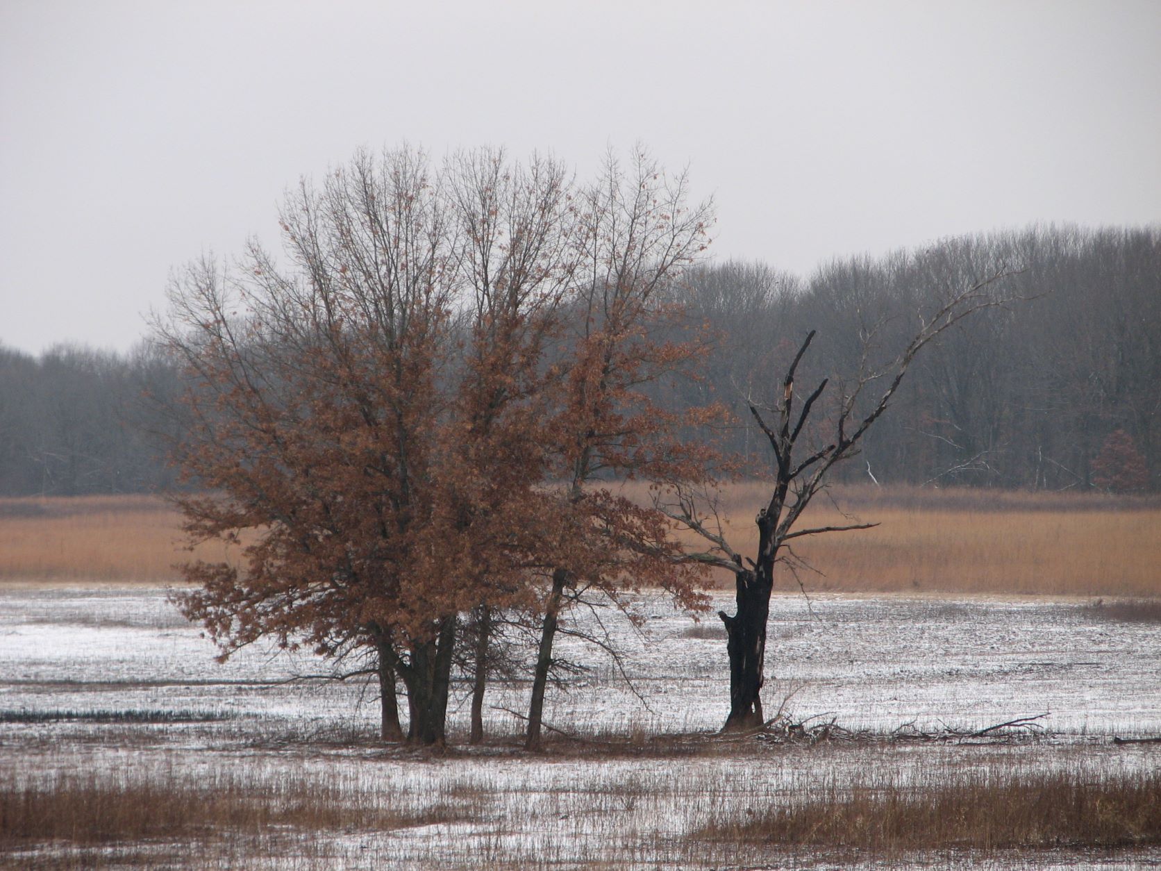
The tall grass visible in the background is common reed (Phragmites australis). The grass in the foreground is reed canary grass (Phalaris arundinacea). This spot was where a brush pile was burned 14 years ago this coming April. The burn scar filled with common reed and tall goldenrod (Solidago altissima). The area where drainage from the burn scar ran down hill has filled with reed canary grass. This is often the outcome of burn scars and is the main reason I don’t like that wood is piled and burned.

This is tall goldenrod. It is in a location where a brush pile burn occurred over ten years ago. Although, I have not been watching this burn scar as closely as the one above.

Corner of Ela Road and Hillside Road

Retrieved February 11th, 2023 from https://www.google.com/maps/place/Deer+Grove+Forest+Preserve/@42.1446897,-88.100237,697m/data=!3m1!1e3!4m5!3m4!1s0x880fa3f9b3409f8b:0xe71e4f18f6f6fe3f!8m2!3d42.1436957!4d-88.077862?hl=en
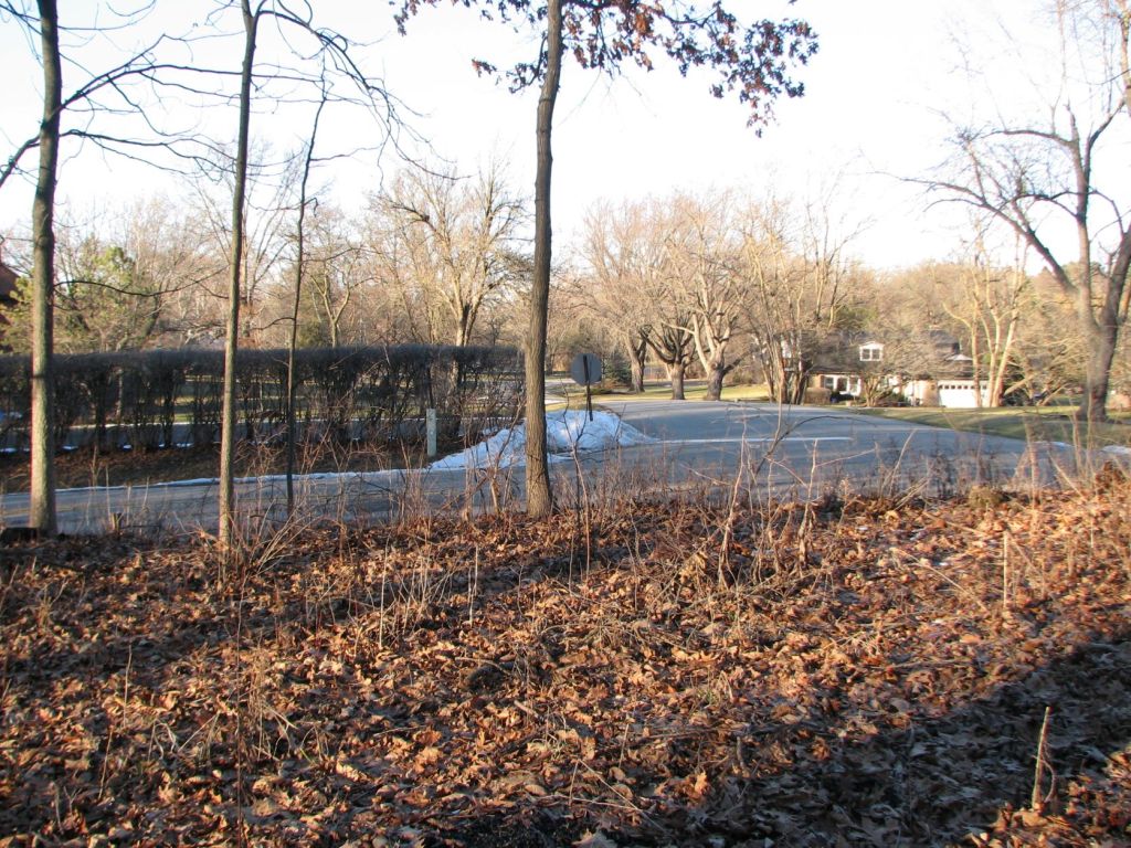
The sign visible along Hillside Road in front of the area where woody invasive species have been removed.

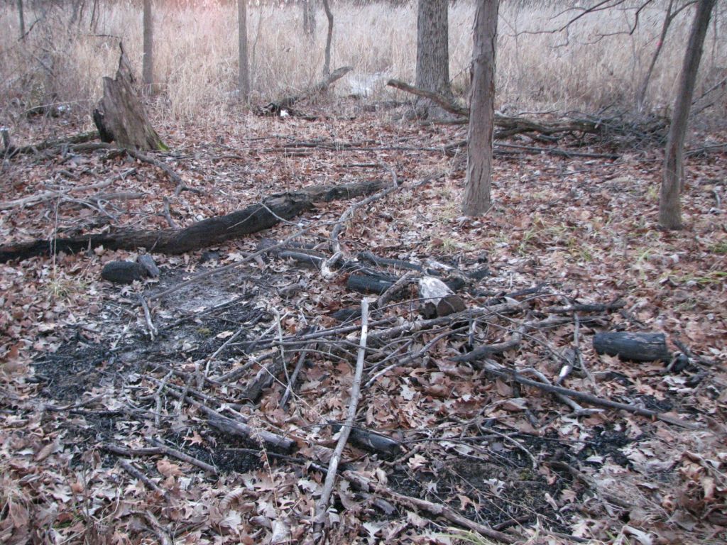
I was only able to locate one burn scar in this area. More must be hidden under leaves. They will be easier to find in spring. View north of old burn scar.
View east of old burn scar.

View south of old burn scar.
View west of old burn scar.
Lots of Asian bush honeysuckle are sprouting around the old burn scar. If the woody invasive species are properly treated then much time can be saved. To selectively control sprouting invasive species, herbicide must be carefully applied to each stem. Needing to treat more stems mean more work. Often the result of sprouting stumps is foliar spraying. When foliar spraying is done there is an impact to a much larger radius of non-target plants.
I have had an extremely high rate of control coating six inches of stem length of similar sprouting Asian bush honeysuckle with trichlopyr ester in basal oil. Although, coating four inches of each stem would probably have been enough for plants with sprouts that have very thin bark.

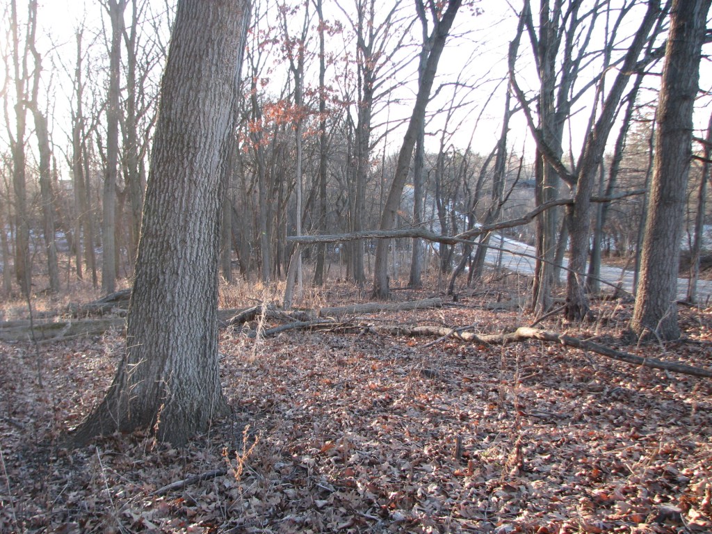
Left of the creek, the woody invasive species have been cut and removed. To the right of the creek the woods are choked with common buckthorn and Asian bush honeysuckle.
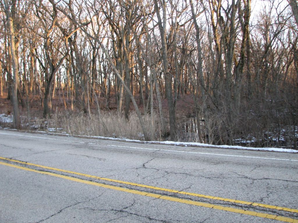
Hillside Road
I did not pace off the locations of the old burn scars or area where invasive species have been cleared. Therefore, the locations and area shown are approximate.
Retrieved February 11th, 2023 from https://www.google.com/maps/place/Deer+Grove+Forest+Preserve/@42.1462867,-88.0945033,207m/data=!3m1!1e3!4m5!3m4!1s0x880fa3f9b3409f8b:0xe71e4f18f6f6fe3f!8m2!3d42.1436957!4d-88.077862?hl=en
Foot path entering Deer Grove Forest Preserve from Hillside Drive.

Northern most burn scar.
Looking north from northern most burn scar.
Looking east from northern most burn scar.

Looking south from northern most burn scar.

Looking west from northern most burn scar. I don’t remember this wetland being thick with cattails a decade ago.

Southern most burn scar.

Looking north from southern most burn scar.

Looking east from southern most burn scar. Can you find the deer?

Looking south from southern most burn scar.
Looking west from southern most burn scar. Again, the wetland is dense with cattails.

Looking north from southern edge of where invasive woody species have been removed.
Looking into area where invasive species have not been removed from the opposite direction of the above picture.
Looking east, after walking into the preserve from Hillside drive. This view shows an area where invasive woody species have been removed. In the background is an area where invasive species have not been removed.
Again, there must be more burn scars that I was unable to locate. It will be easier to find them in spring.

Leave a comment