Areas Visited Outlined In Red

Retrieved March 20th, 2023 from https://www.google.com/maps/place/Harms+Woods/@42.0627961,-87.7737512,1974m/data=!3m1!1e3!4m6!3m5!1s0x880fc5f9307cfa39:0xaa4b99c5cb5dc95a!8m2!3d42.0577848!4d-87.7695608!16s%2Fg%2F1wj_twd9

Sign At Entrance

Bridge Over North Branch Chicago River

Looking North of Bridge Along North Branch Chicago River

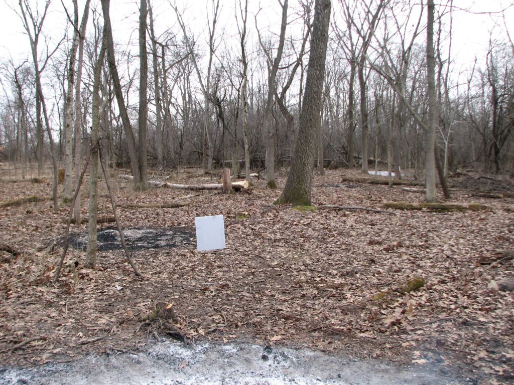
Sign Along Orange Gravel Trail

Other Side of Above Sign
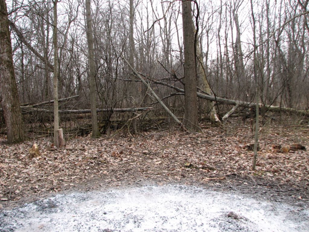
North Work Area
The new burn piles are labelled. Piles of logs are labelled. Previous burn piles are the dots that are not labeled.

New Burn Pile One
Looking North Toward Glenview Road
Looking East Toward North Branch Chicago River
Looking South Toward Restoration Area
Looking West: The other burn pile created at this workday is visible in upper right of the image. The ground was frozen throughout most of the woods, but the heat of the fire must have thawed the frozen ground around the burn pile. Where people carried wood to a distance of about ten feet away from the burn pile the soil was trampled and muddy.
New Burn Pile Two

Looking North Toward Glenview Road

Looking East: Burn Pile One is visible near center of image.

Looking South: Earlier work areas visible to the left and areas where work has not occurred visible to the right.
Looking West: This is looking toward an area where work has not yet occurred.
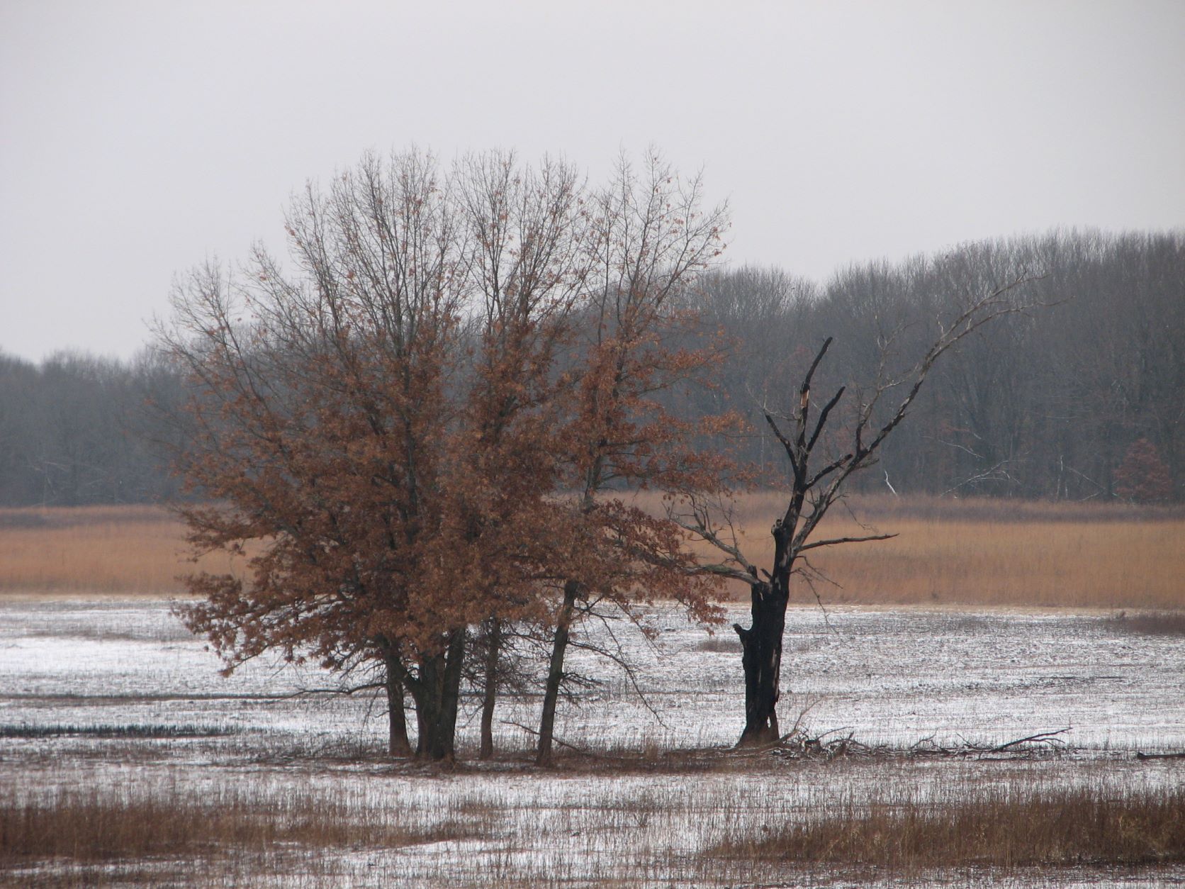
View From Perimeter
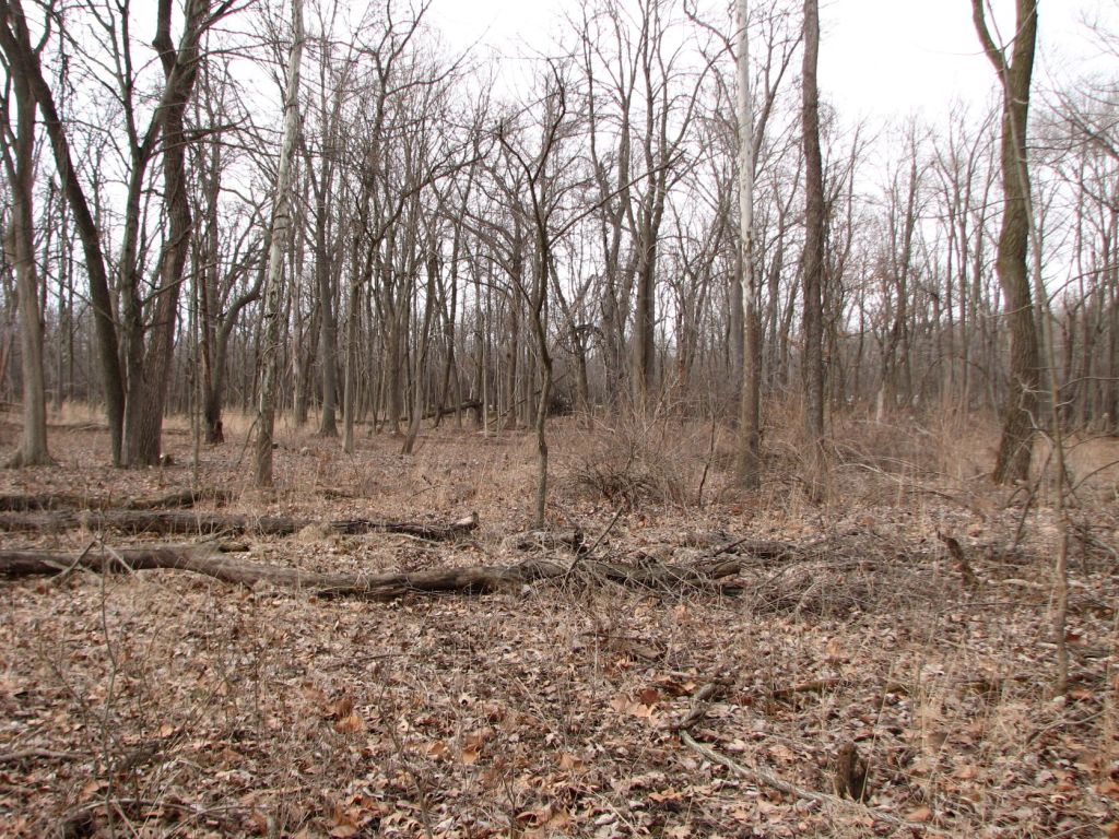
Looking north into restoration area. The shrubs just right of center are ninebark (Physocarpus opulifolia).

Looking east into restoration area down the slope toward the river.

Looking South into restoration area from near Glenview Road.

Looking west from near North Branch Chicago River into restoration area.
Herbicide Application

This is the map I made of the work area. Mistakes as I refined the map are visible and crossed out. The “o” shapes are stumps that were treated with herbicide. The “x” shapes are stumps that were not coated with herbicide. The brush piles burned at this workday are marked as “New.” The “x” shapes within the outlined area are high cut stumps (as labeled). Glenview Road is labeled. The North Branch Chicago River is labelled as “River.”
Not including high cut stumps or stumps near a previous workday’s burn pile (where other stumps were not treated) my count follows. I count 36 stumps missed being treated by herbicide and 75 stumps treated with herbicide. The total of these is 111 stumps. This comes out to about 2/3 of the stumps being treated with herbicide.

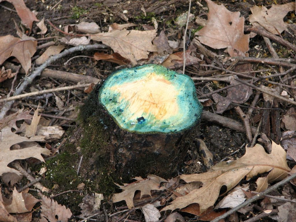
These stumps are thoroughly coated with herbicide. I believe a few inches less herbicide could be applied to the bark and still kill these common buckthorns.

This stump looks like it received just about the right amount of herbicide. Although, some stewards do not cover the stump all the way to the ground to reduce the possibility of herbicide running onto the ground.
In contrast to the above, this stump does not look like it received enough herbicide and will likely need to be treated again after it sprouts. It is likely different applicators are applying different amounts of herbicide.
Invasive Species

This is winter creeper (Euonymus fortunei). It is all along the side of the preserve adjacent Glenview Road in the area visible looking north of New Burn Pile One.

This is a sprouting invasive privet (Ligustrum sp.). My limited experience has been it is difficult to kill with herbicide. I applied Garlon 4 in basal oil to four inches of stem of a small shrub with a stem about the diameter of one of these stems–and it was not phased at all. The next year, I cut it and applied glyphosate concentrate to the stump and it sprouted the following year. I finally killed one by frilling, making cuts around the stem, and filling it with glyphosate concentrate. I believe this plant will be a significant problem dominating a large part of the understory at this location.
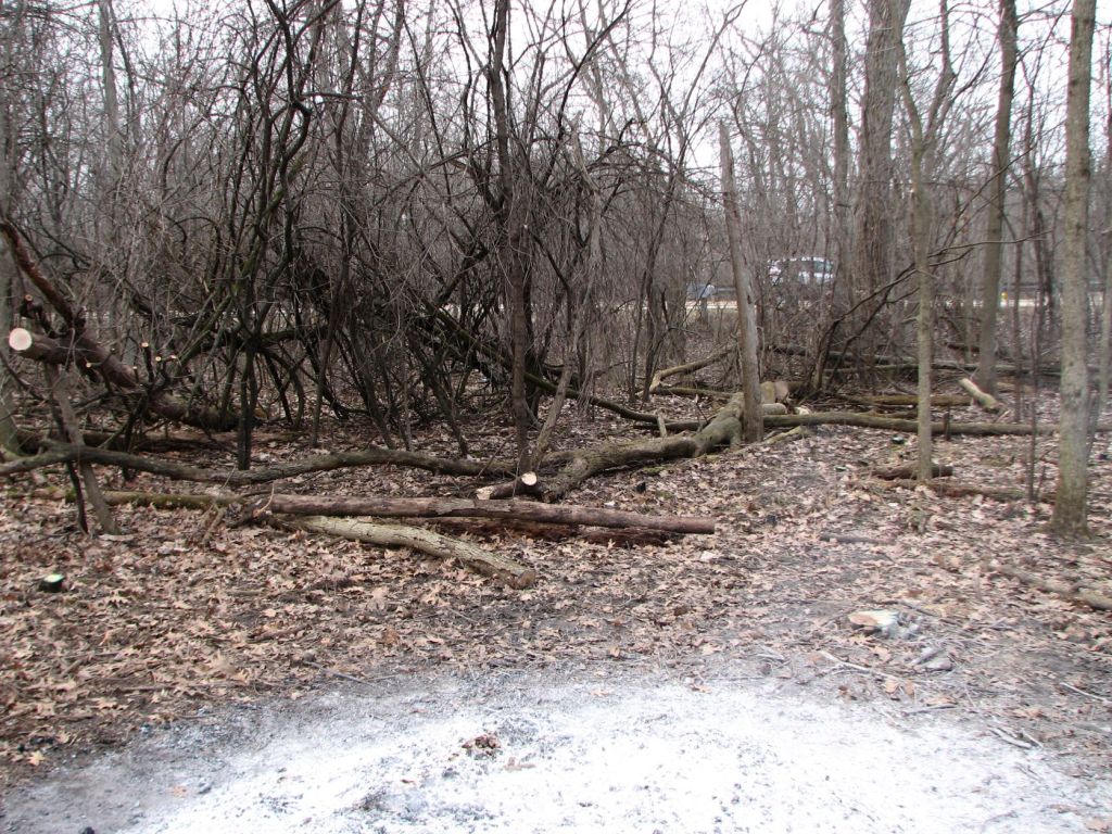
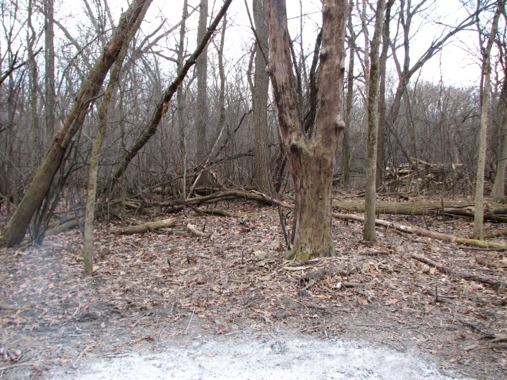
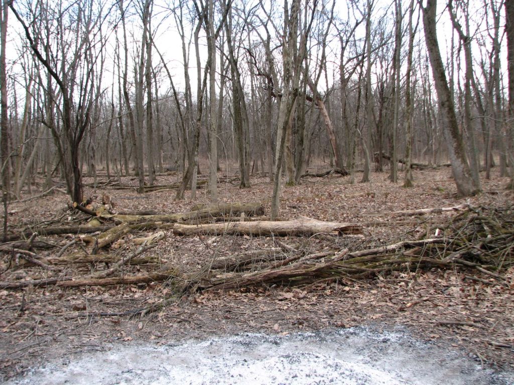
South Work Area

Looking north from edge of a more open wet area filled with grass into the work area.

Looking east from near the foot path down slope into work area.

Looking south from the edge of the older work area into the recent work area. A more open wet area filled with grass is visible toward the back of the image.

Looking west from near the orange gravel trail into the work area.
Post Script: Rain Occurred Four Days After Herbicide Application on Wednesday Night

Leave a comment