Summary
New Burn Scars
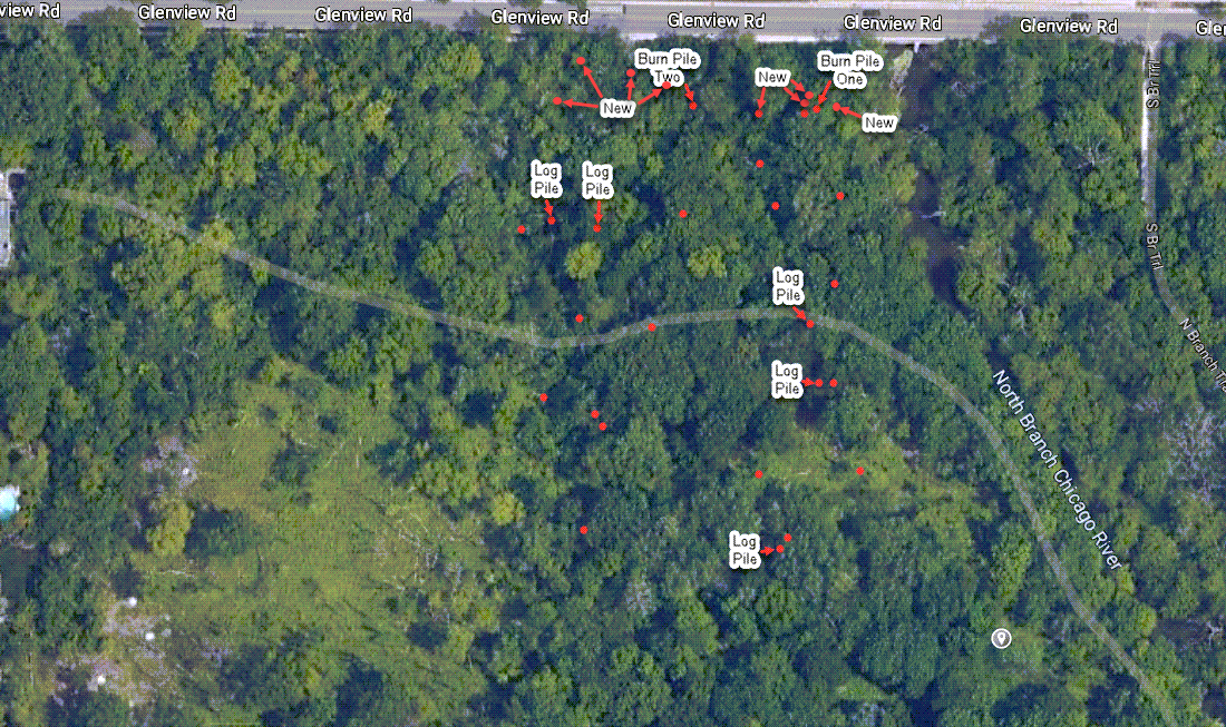
The map of burn scars has been updated to show new burn scars that have been made since my 3/18/2023 visit.
Herbicide Application
I relocated stumps that I had marked on a map during my 3/18/2023 visit as being treated. I surveyed the stumps for sprouting, reported the rate of effectiveness of the herbicide application, and discussed reasons for the results.
Burn Pile One, Burn Pile Two, and Work Area
Images looking north, east, south, and west from the above locations are shown from both my 3/18/2023 and 11/19/2023 visit for comparison.
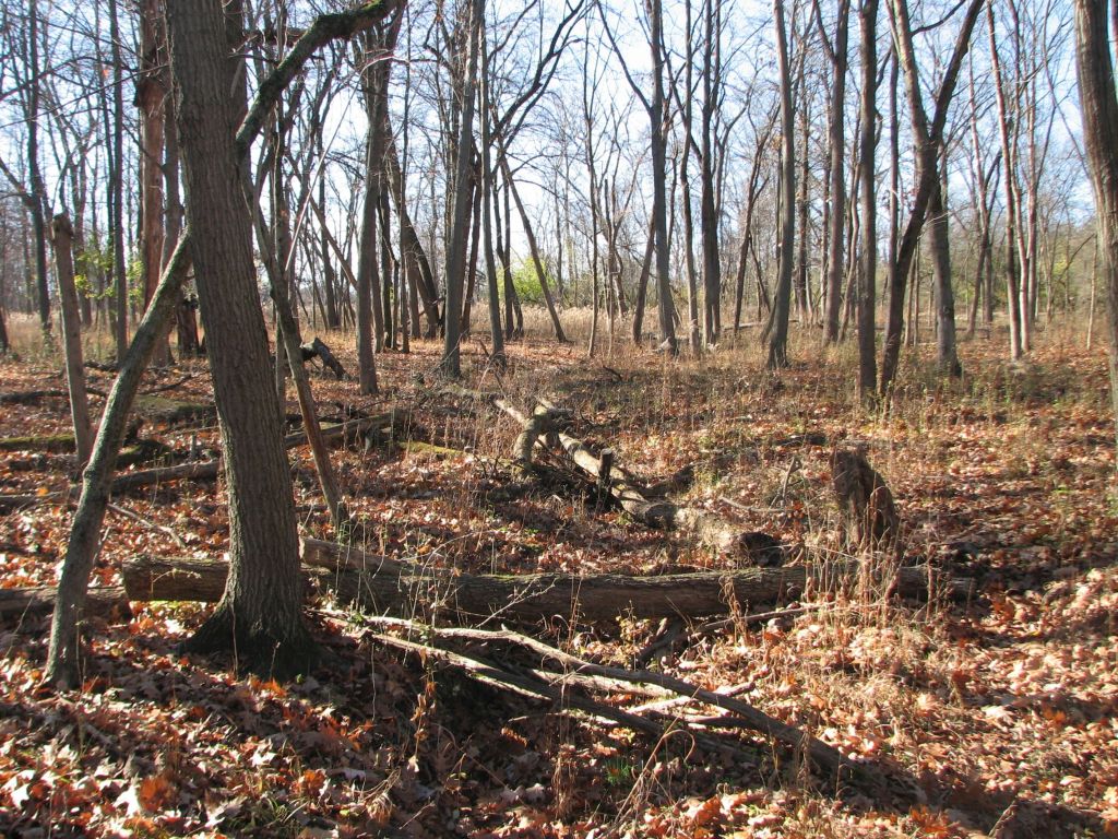
Privet
An image is included of a privet that had been cut and had herbicide applied. Two images are included showing areas where woody invasive species were removed approximately two seasons prior showing the dense privet that is now growing. An area is shown where a prescribed fire was conducted that killed woody species that were about chest high or less to the ground. Discussion was included about returning to see if the privet had been killed or if it will sprout from the ground next spring.
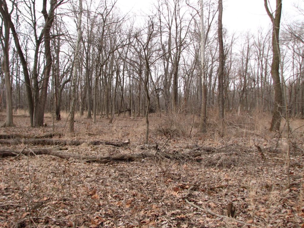
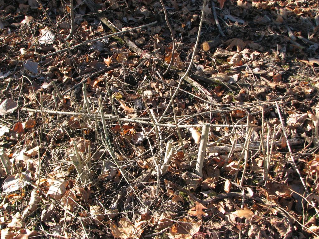
South Work Area
Images of this work area were not included in this post because I could not find the burn scars I used as reference points under all the fallen leaves.
New Burn Scars
Retrieved March 20th, 2023
The above map from my earlier blog post “Glenview Woods and Harms Woods 3/18/2023” with new burn scars added to the map and arrows pointing to these burn scars from the labels “New.”
Herbicide Application
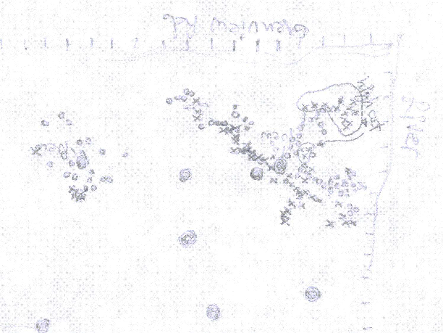
This is the map I made during my visit on 3/18/2023. The circles are stumps that were treated with herbicide and each “x” is a stump that was not treated with herbicide.
During my 11/19/2023 visit, I tried to find the stumps that I had marked as being treated with herbicide around each burn pile. This was difficult because of all the fallen leaves and since the area changed so much from all the brush clearing that had been done since my last visit. I actually started trying to find stumps around the wrong burn scar until I looked at the pictures, I had taken on 3/18/2023, and could see from the trees where the correct burn scars were located.
In the work area on the right, shown in the above image (around “Burn Pile One”), I relocated 34 stumps that I had recorded as being treated with herbicide. Of these stumps, only two had sprouts. This is an effectiveness rate of 94 percent. The two stumps that had sprouts were near the burn pile. Heat from the burn piles vaporizes the herbicide. Previously, I have seen where stumps treated near burn piles tend to sprout the season after treatment. If the stumps near the burn scar were not counted, then the effectiveness rate would be 100 percent. This is not unexpected considering in addition to the cut, more length of stems was covered than is typically needed to achieve good control. See pictures of stumps covered with herbicide in the post, “Glenview Woods and Harms Woods 3/18/2023.”
These stumps had since been cut flush with the ground. Presumably, the stumps had been left several inches high so enough herbicide could be applied to achieve successful control. A season later the dead stumps were then cut flush with the ground to eliminate trip hazards and given an aesthetically pleasing view for the public.
In the work area on the left (around “Burn Pile Two”), shown in the above image, I relocated 15 stumps that I had recorded as being treated with herbicide. Of these stumps, six had sprouts. This is an effectiveness rate of only 60 percent. This effectiveness rate is much lower than might be expected from looking at the pictures I took around the burn scar. The reason this effectiveness rate was low is the buckthorn in the work area on the left were all larger, averaging around 10 inches in diameter at ground level. Only a small amount of sprouting, mostly from just one location on each stump, was visible on the stumps that had sprouting. The application came close to controlling these larger buckthorns that sprouted but just a little less herbicide was applied than needed to get a high-level of complete control.
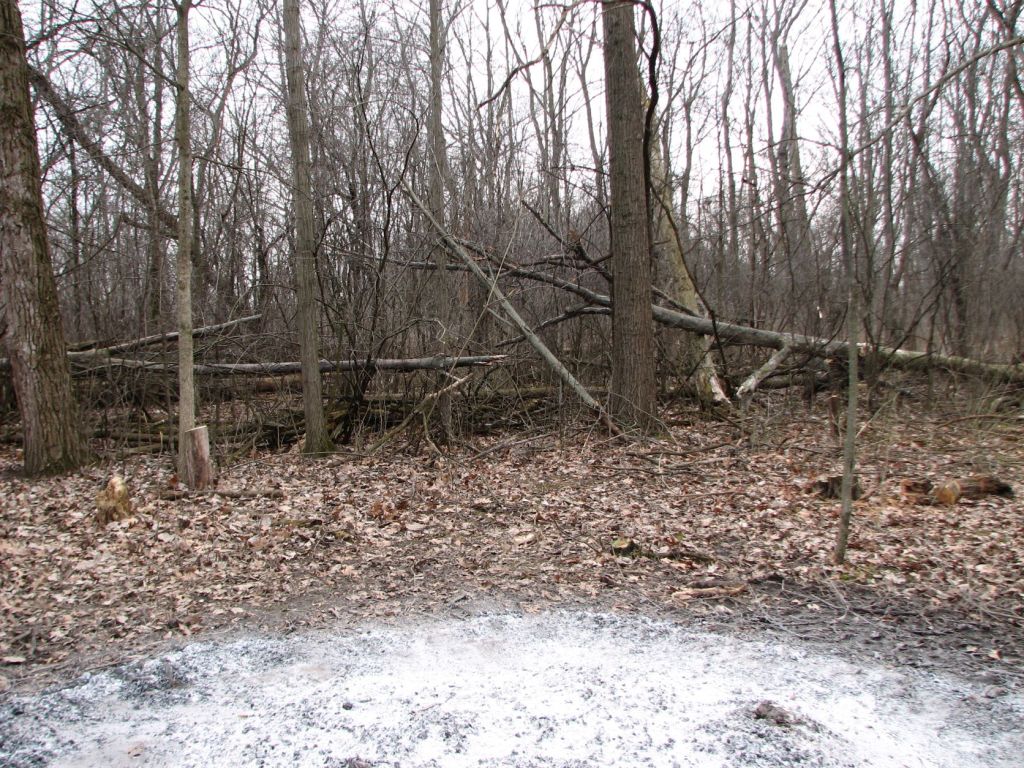
Burn Pile One
Looking north on 3/18/2023

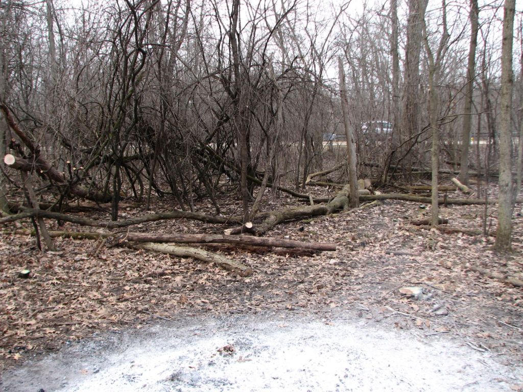
Looking north on 11/19/2023 – No logs were left near Glenview Road. I normally like to see logs left. This provides for habitat for animals and creates a location for native plants to grow that need high-carbon substrates (decaying logs) rather than non-conservative or invasive species that prefer high-nitrogen substrates (any soil under where common buckthorn has recently been cleared). The logs were probably all removed from this area so drivers on the road do not see burning logs after a prescribed burn. People tend to inundate the local fire department with calls if they see any fire. Removing logs near roads is understandable when it impacts public relations.
Looking east on 3/18/2023
Looking east on 11/19/2023
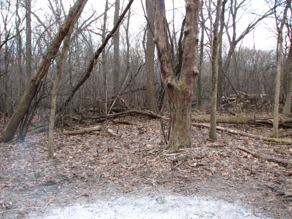
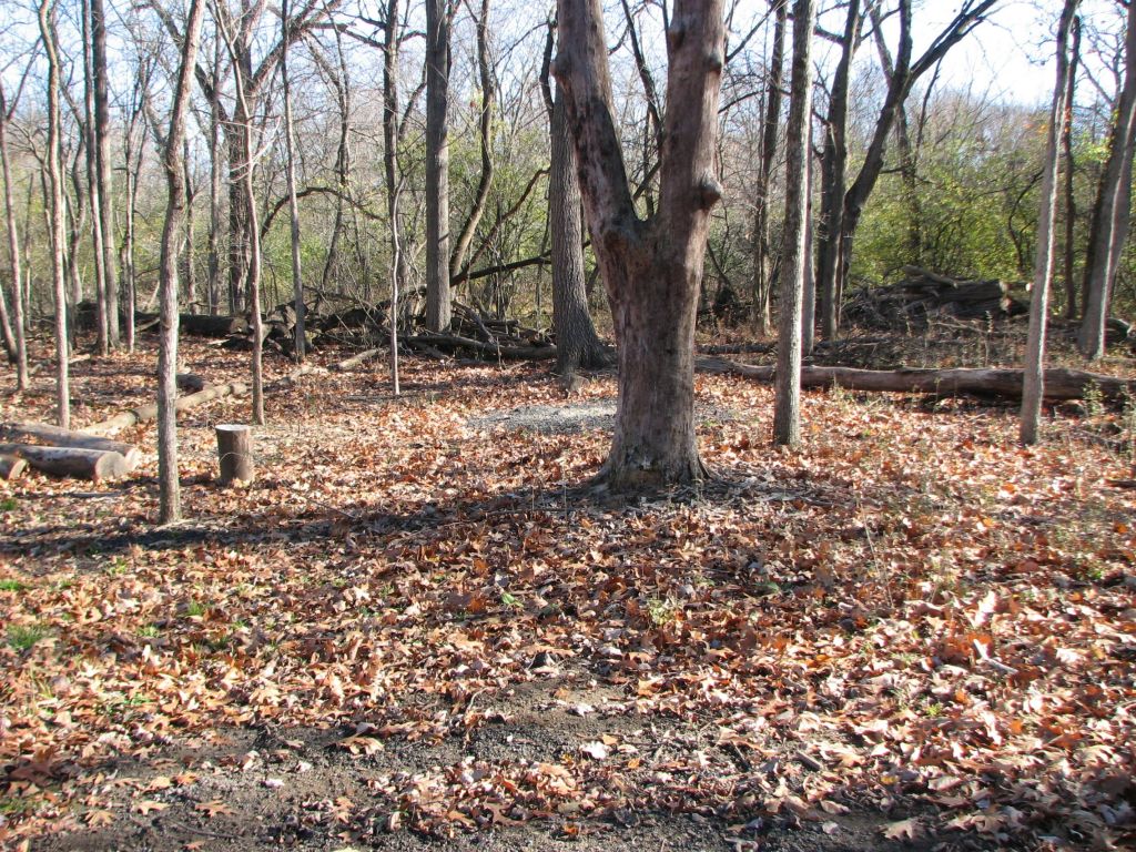
Looking south on 3/18/2023

Looking south on 11/19/2023 – The leaves glinting the sun are all privet, which will be shown closer in a later image.
Looking west on 3/18/2023

Looking west on 11/19/2023
Burn Pile Two

Looking north on 3/18/2023

Looking north on 11/19/2023 – The green that is visible is mostly non-native cool season grasses. Native sedges were few and far between.

Looking east on 3/18/2023

Looking east on 11/19/2023

Looking south on 3/18/2023

Looking south on 11/19/2023
Looking west on 3/18/2023
Looking west on 11/19/2023
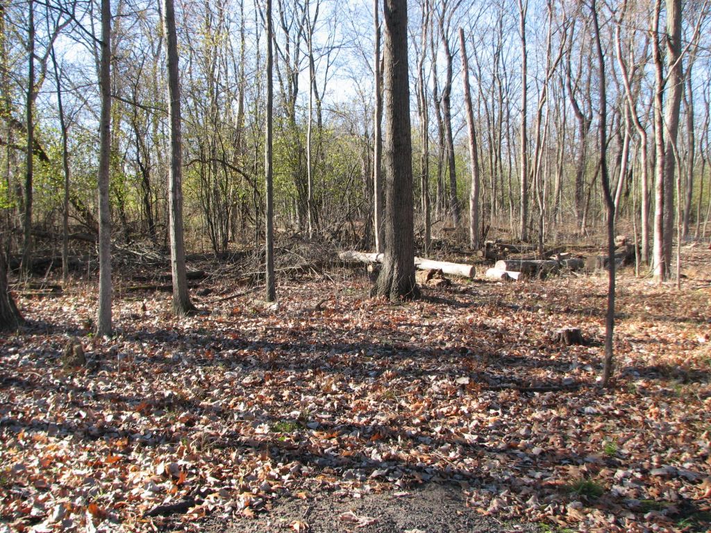
Work Area
Looking north from perimeter of work area, 3/18/2023

Looking north from perimeter of work area, 11/19/2023 – Unfortunately, a lot of tall goldenrod is filling in areas as is visible in the middle of this image.

Looking east from perimeter of work area, 3/18/2023

Looking east from perimeter of work area, 11/19/2023 – In this image the tall goldenrod is all around an old burn scar and a grass, I did not identify, is growing in the old burn scar. Although, the grass looks like Muhlenbergia schreberi (nimblewill).

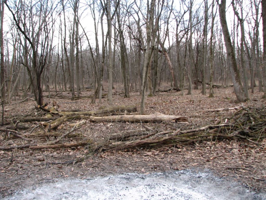
Looking south from perimeter of work area, 3/18/2023

Looking south from perimeter of work area, 11/19/2023

Looking west from perimeter of work area, 3/18/2023
Looking west from perimeter of work area, 11/19/2023
Privet
These are privet that were treated with herbicide at a recent workday. I know they were treated with herbicide recently because the dye from the herbicide is still faintly visible.

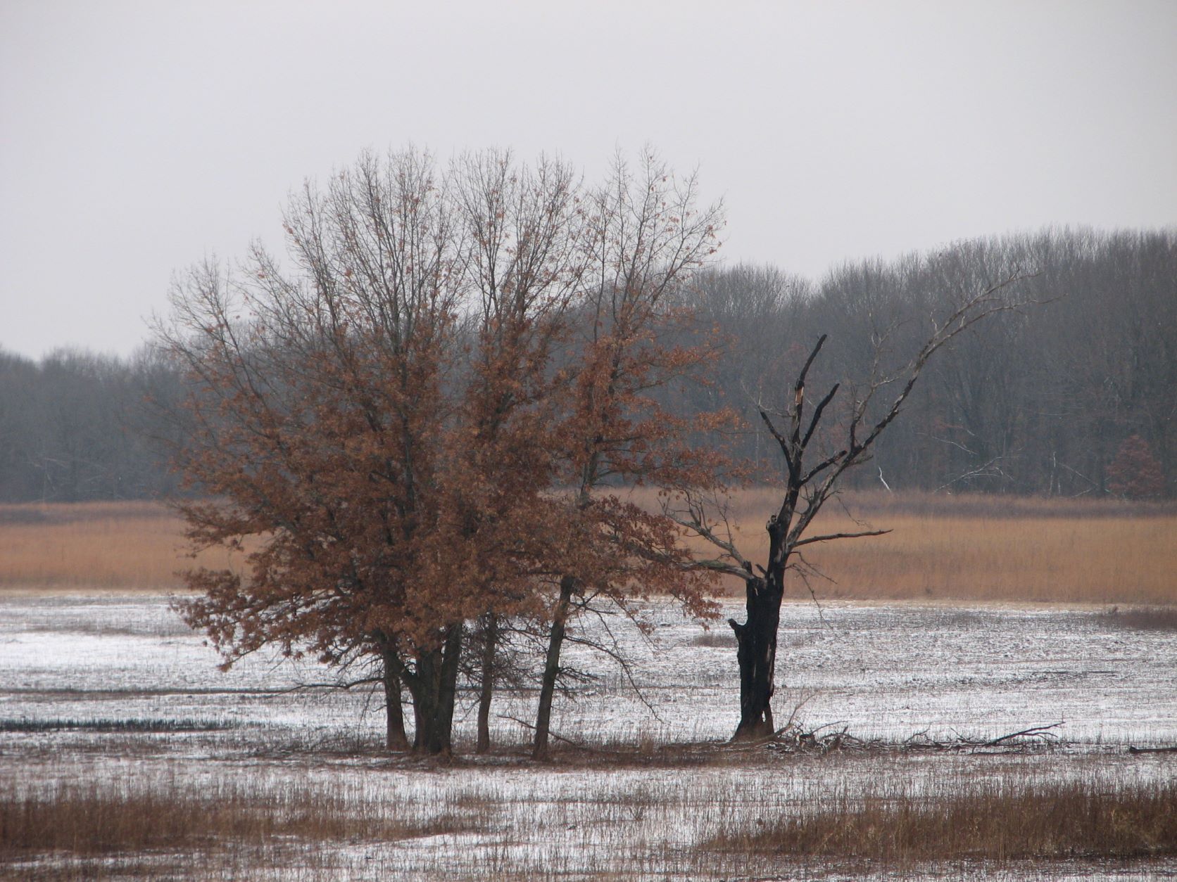
This is an area where invasive woody species had already been removed just beyond the area where work was done during the fall/winter of 2022/2023. Likely, this area had work done during the fall/winter of 2021/2022. Two years after woody invasive species have been removed, the area is full of waist high privet. Can you see them? The reddish privet leaves blend in with the oak tree leaves.

I took this image from a different angle to better show the privet in the above-described area. In this image, the sun is glinting off the privet leaves. All those leaves reflecting sun in the middle of the image are privet.

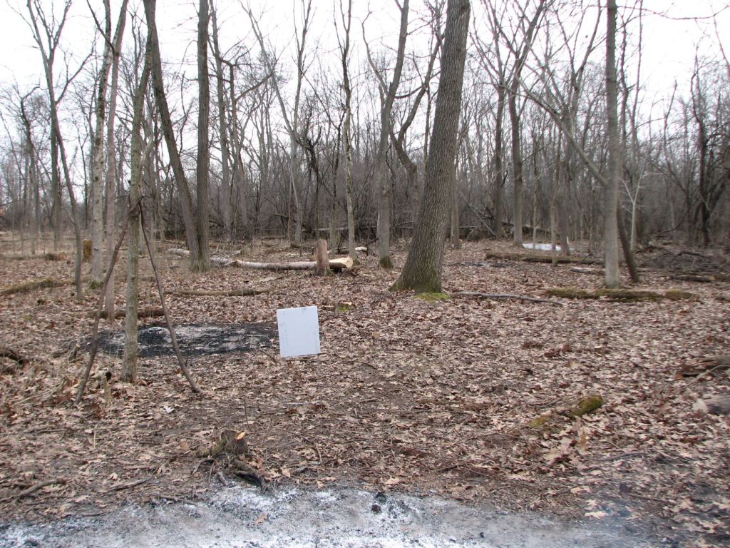
This is an image of the “Ecological Restoration” sign taken on 3/18/2023. The next image was taken behind this sign.

The area in this image recently had received a prescribed burn. The fire appears to have top killed anything shorter than chest height. I hope to return next summer to see if the masses of privet were killed or are sprouting from the ground.
South Work Area
I tried to relocate the burn scars I had used as reference points for images I took in the South Work Area on my 3/18/2023 visit. However, the recently fallen leaves covered all the ground and I was unable to relocate the burn scars in this more densely wooded area. To get before and after images from this area, I will have to return in spring/summer when plants are growing and the old burn scars can be located easier.

Leave a comment