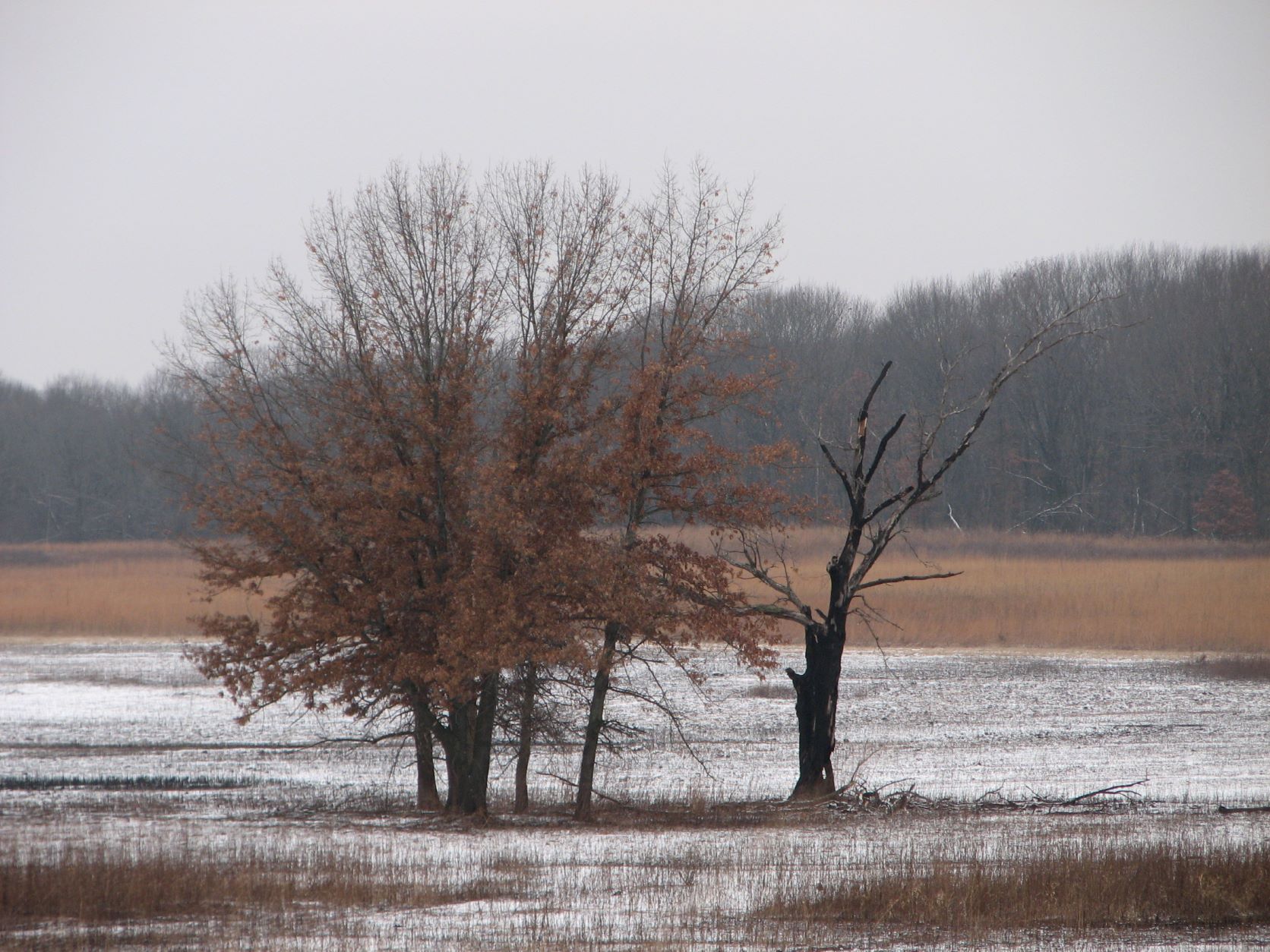
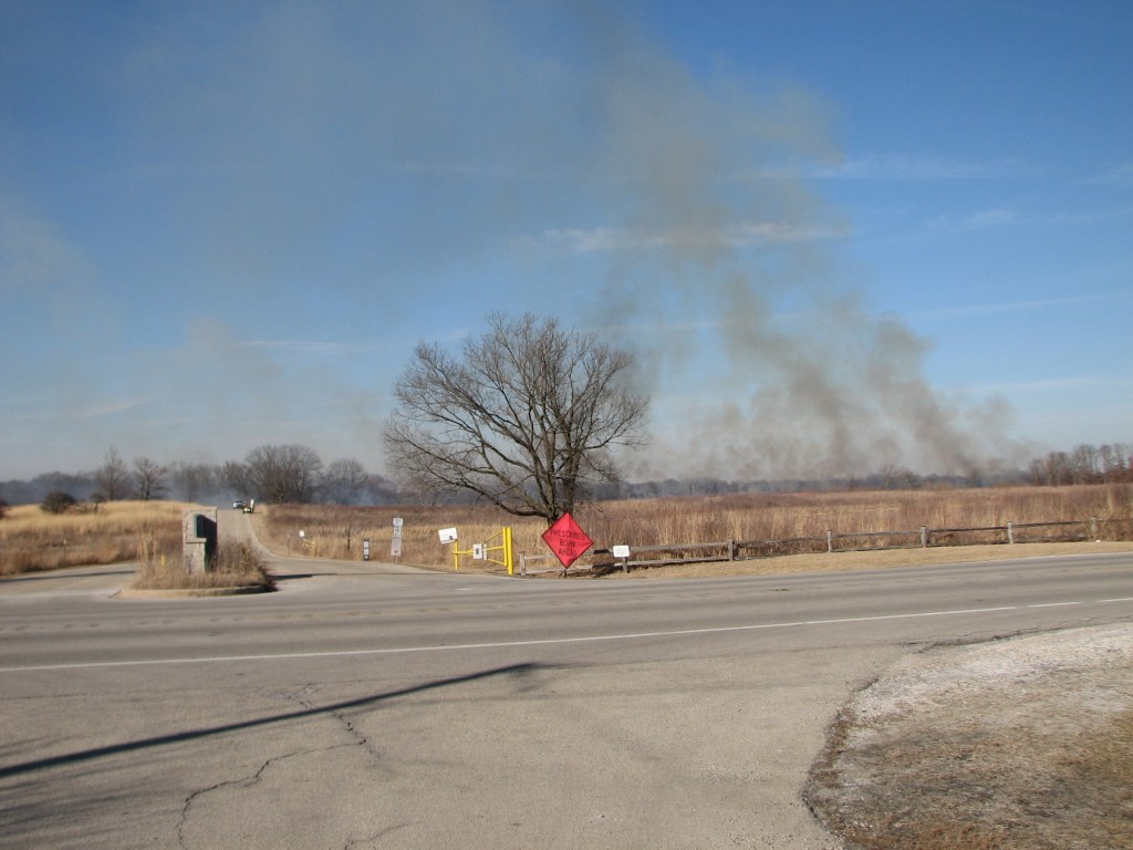
This blog post shows a typical prairie burn. This burn was showcased because it happened to be easily visible from roads.
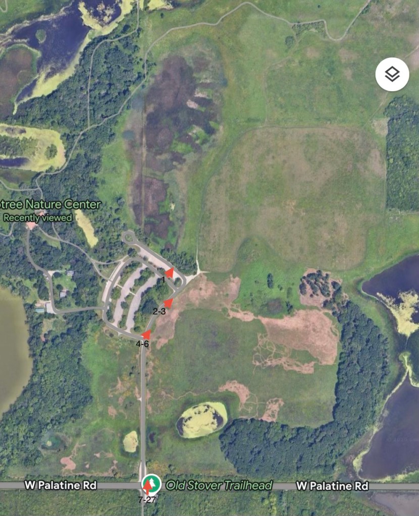
Map
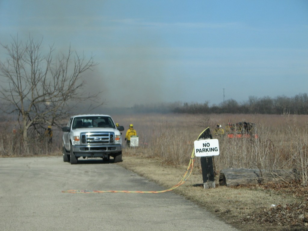
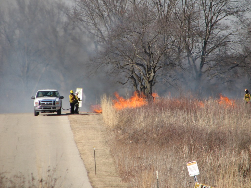
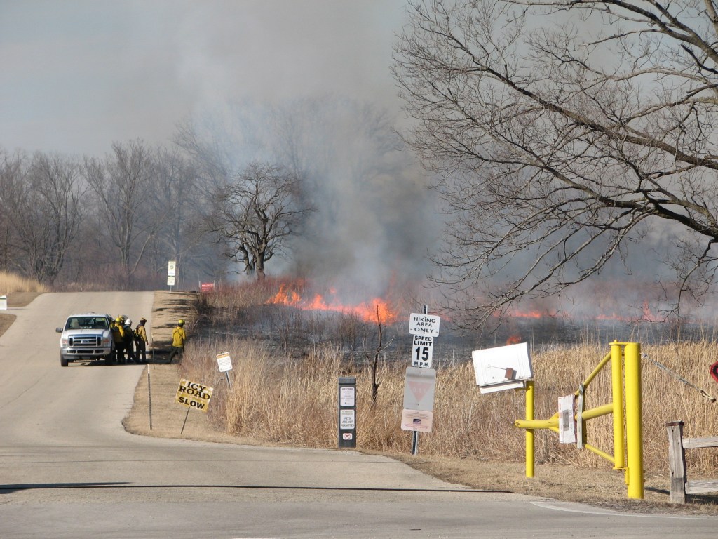
1. Crew starting the back fire
2. Getting asked to stay out of the way
3. Discussing what to do about me
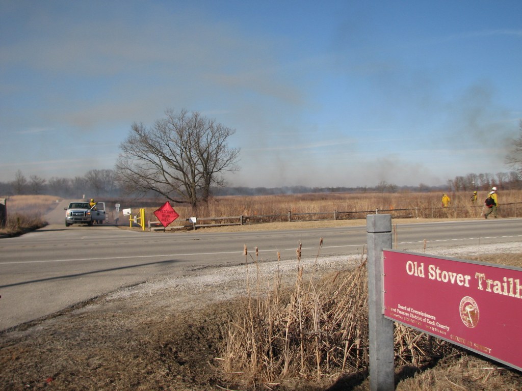
4. I moved farther away to watch them continuing the fire line
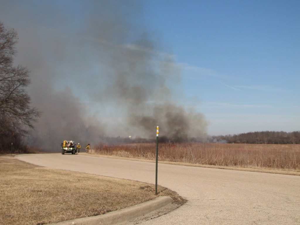
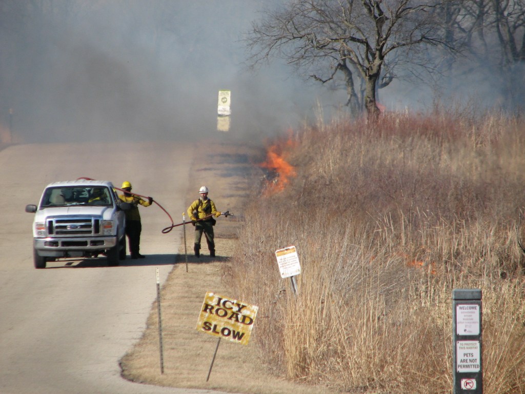
5. Putting down water
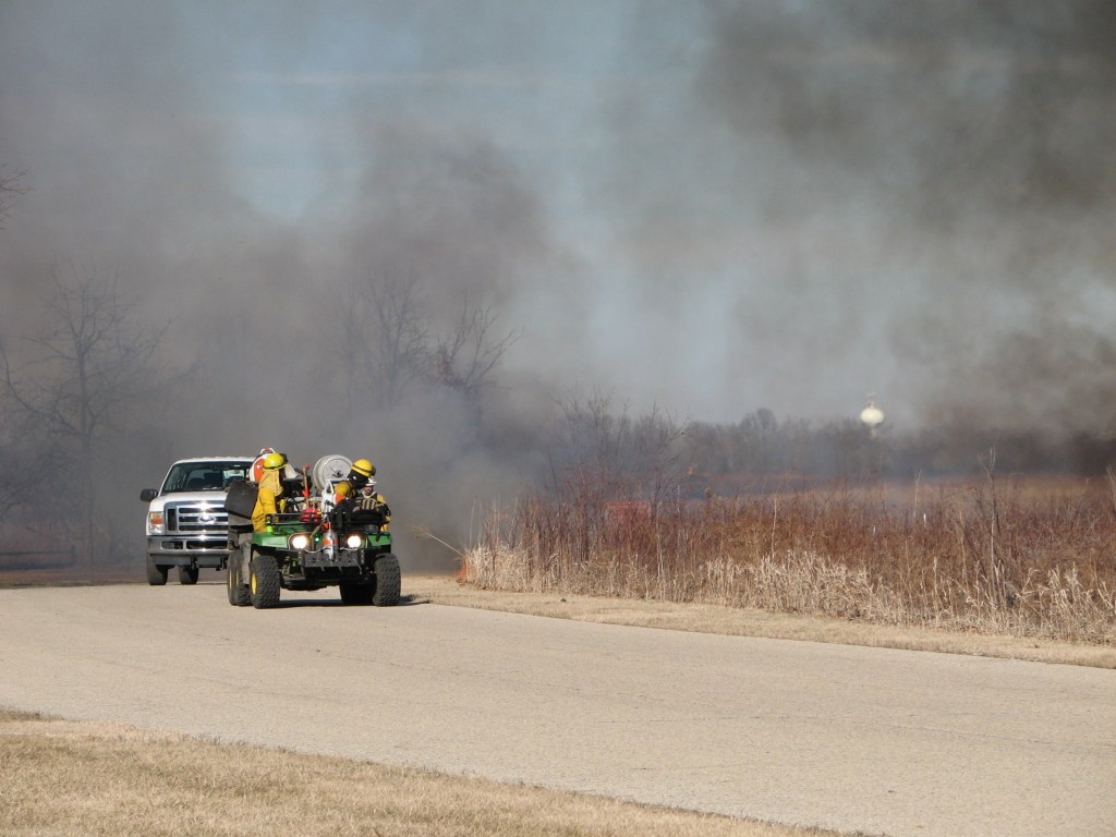
6. The fire line is approaching. After this image I moved again.
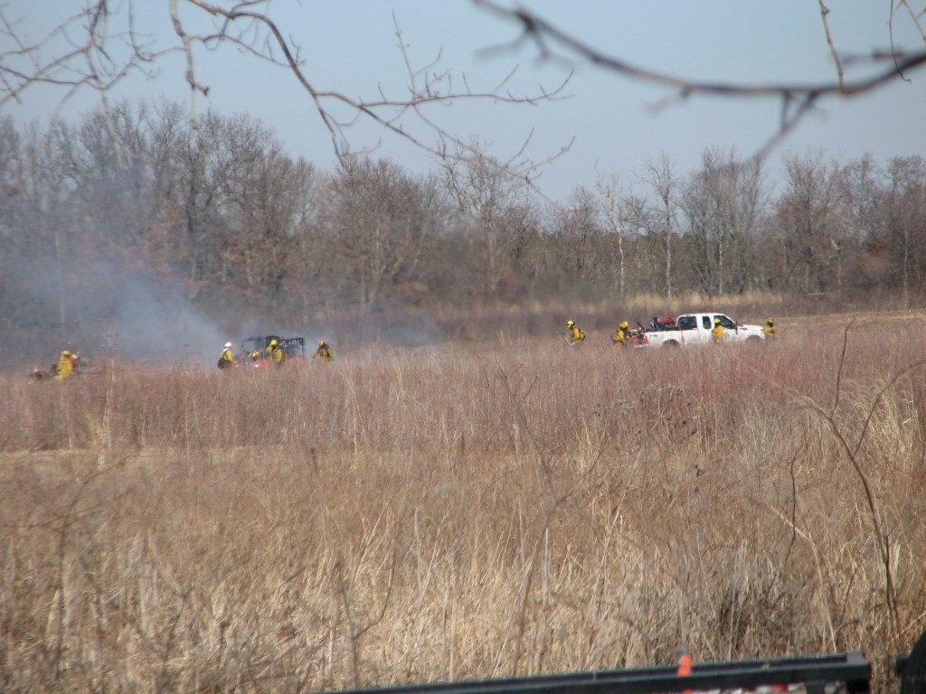
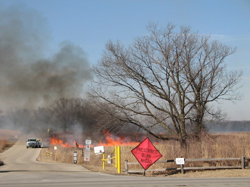
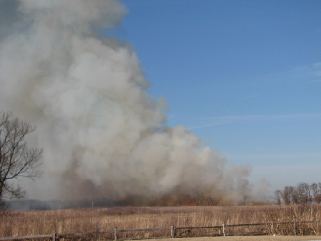
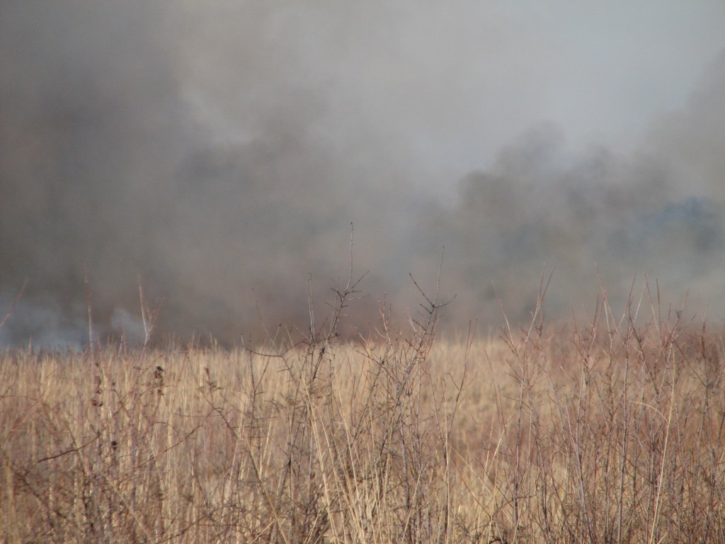
7. View of smoke from back fire. The crew is starting to ignite a line of fire down the flanks.
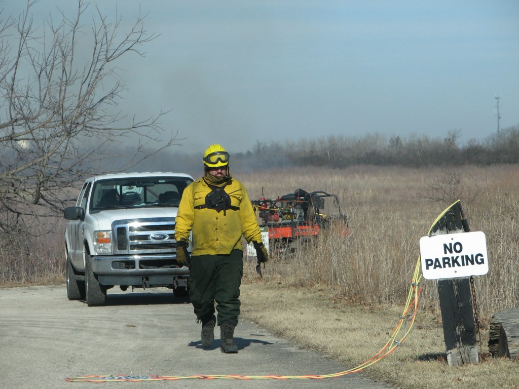
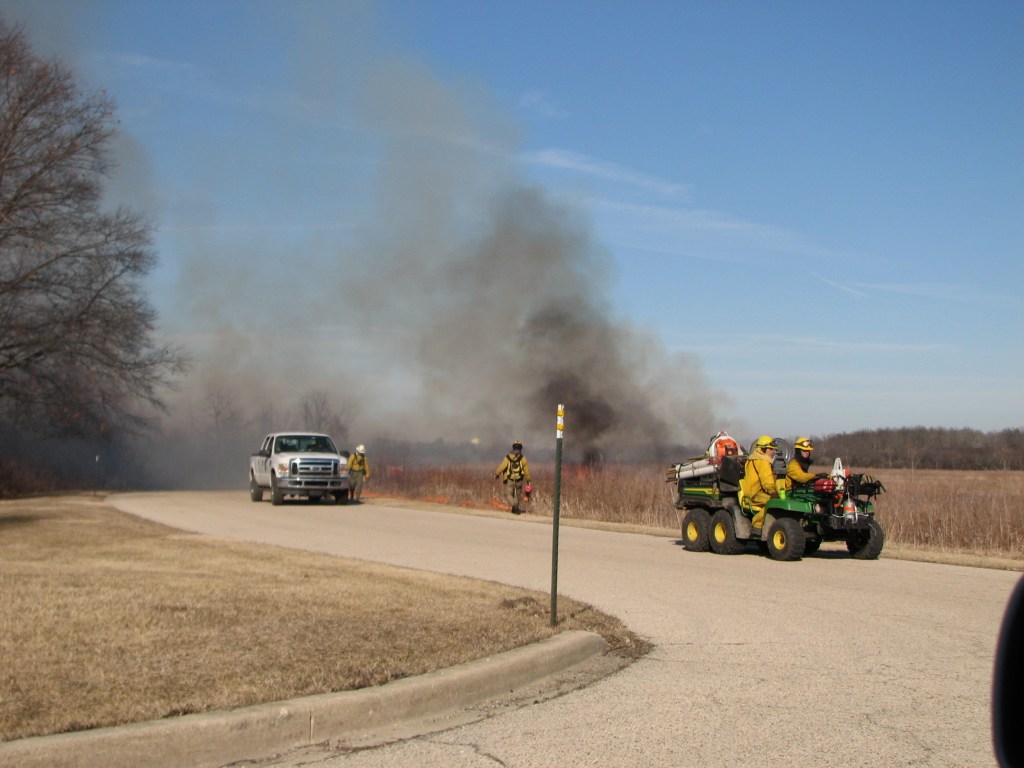
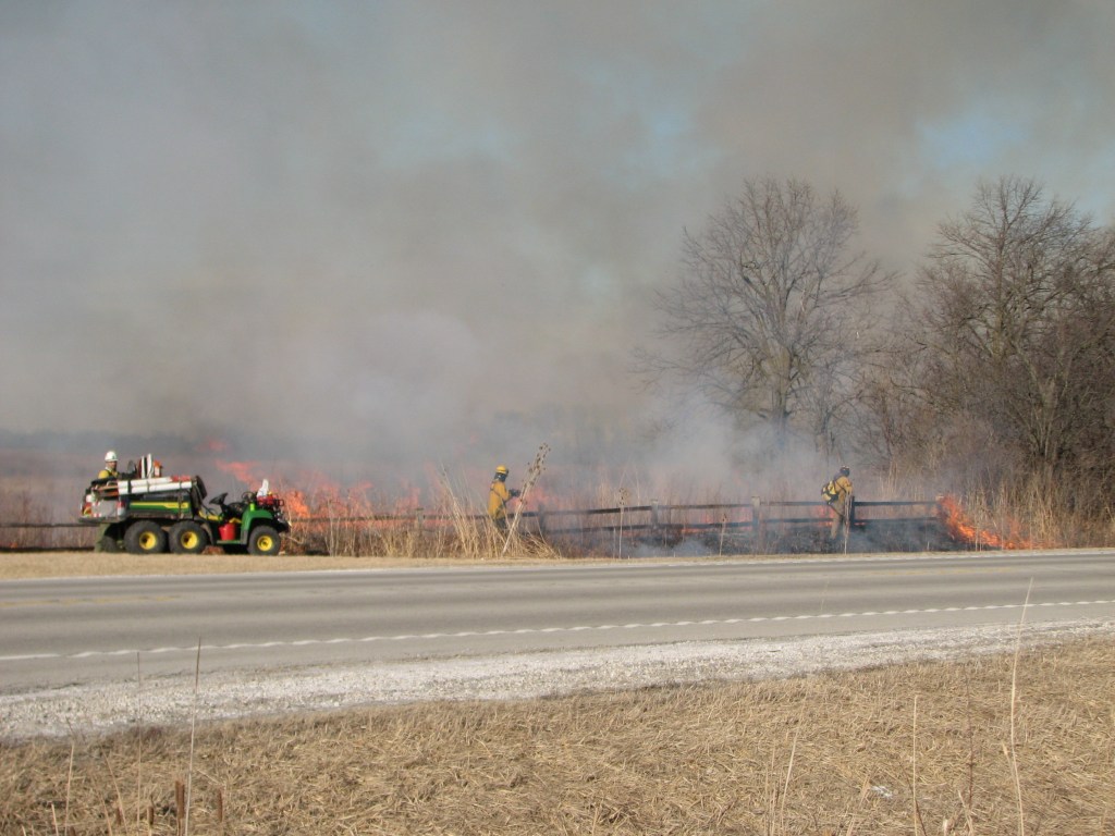
8. Putting out the burning lawn grass
9. Continuing down the flank
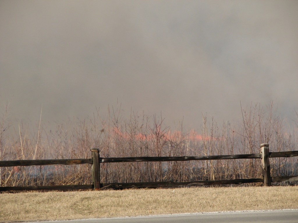
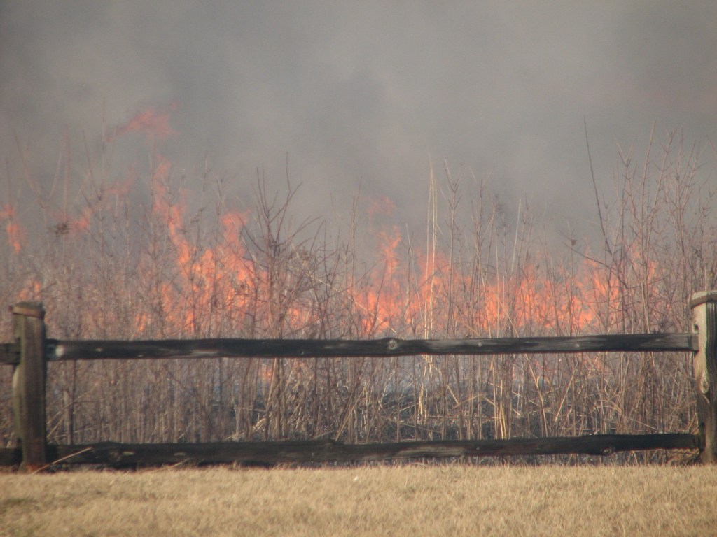
10. Wetland vegetation burning hotter
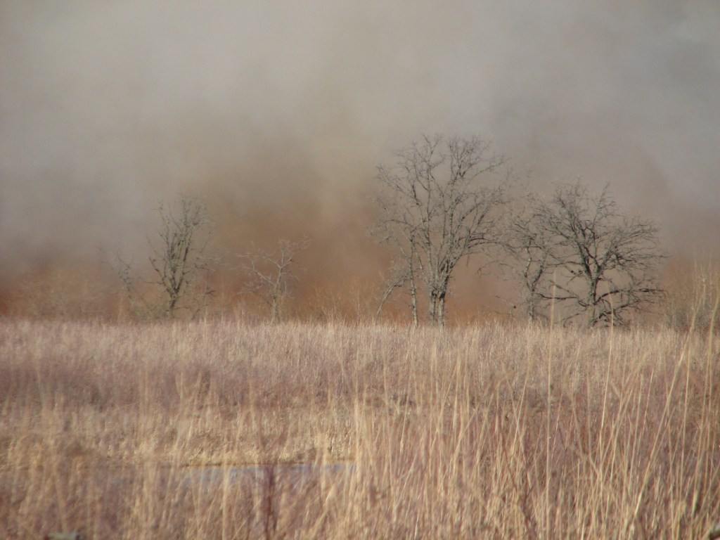
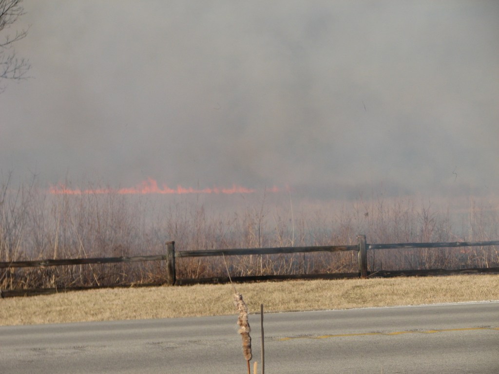
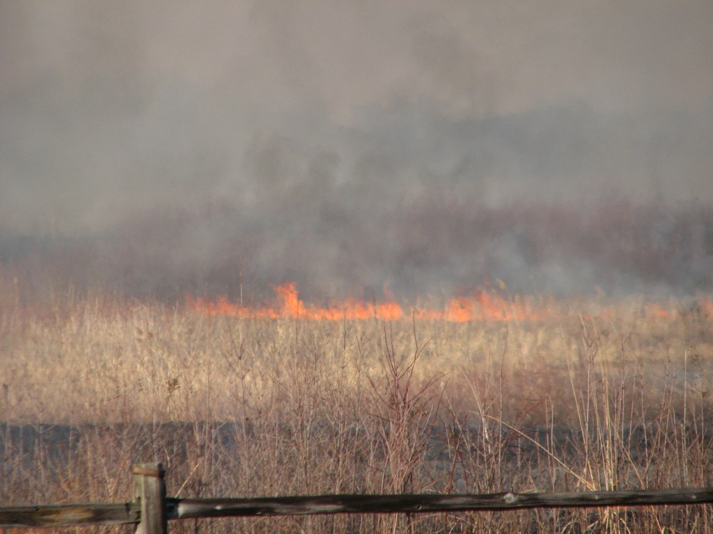
11. The glow behind the curtain of smoke looks ominous
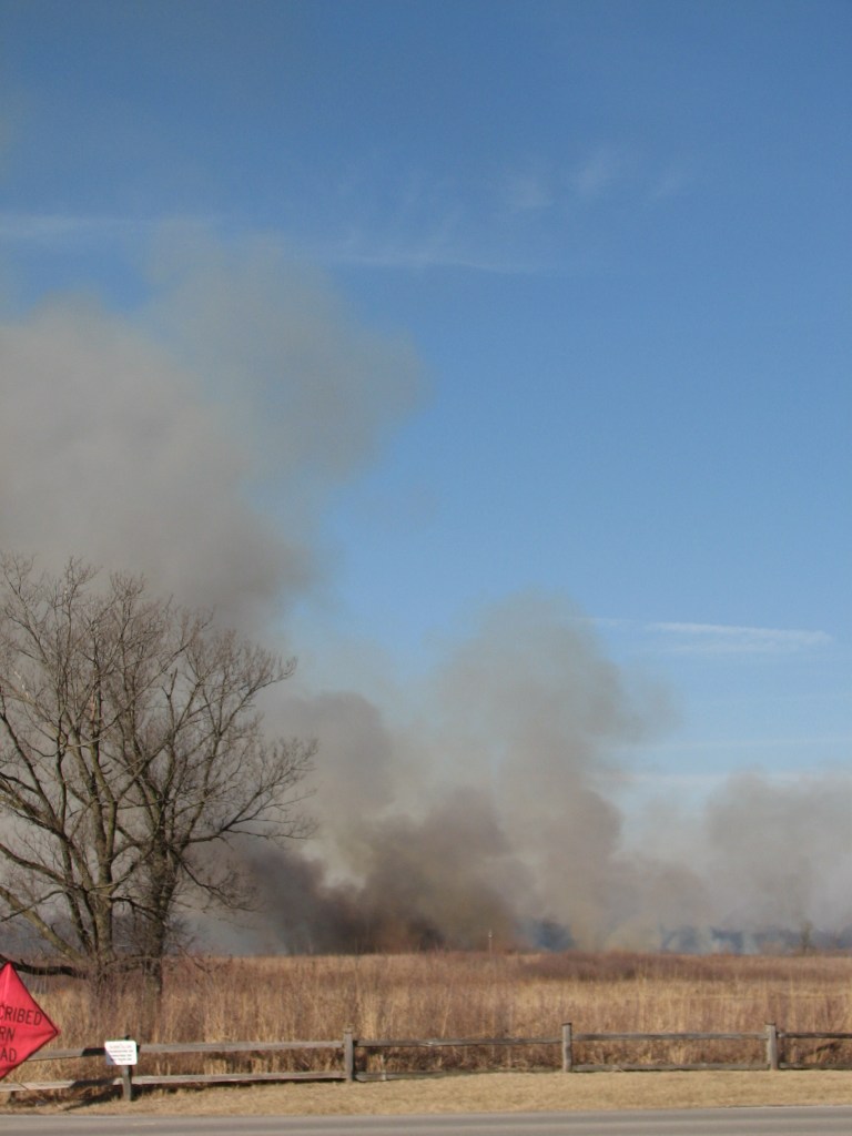
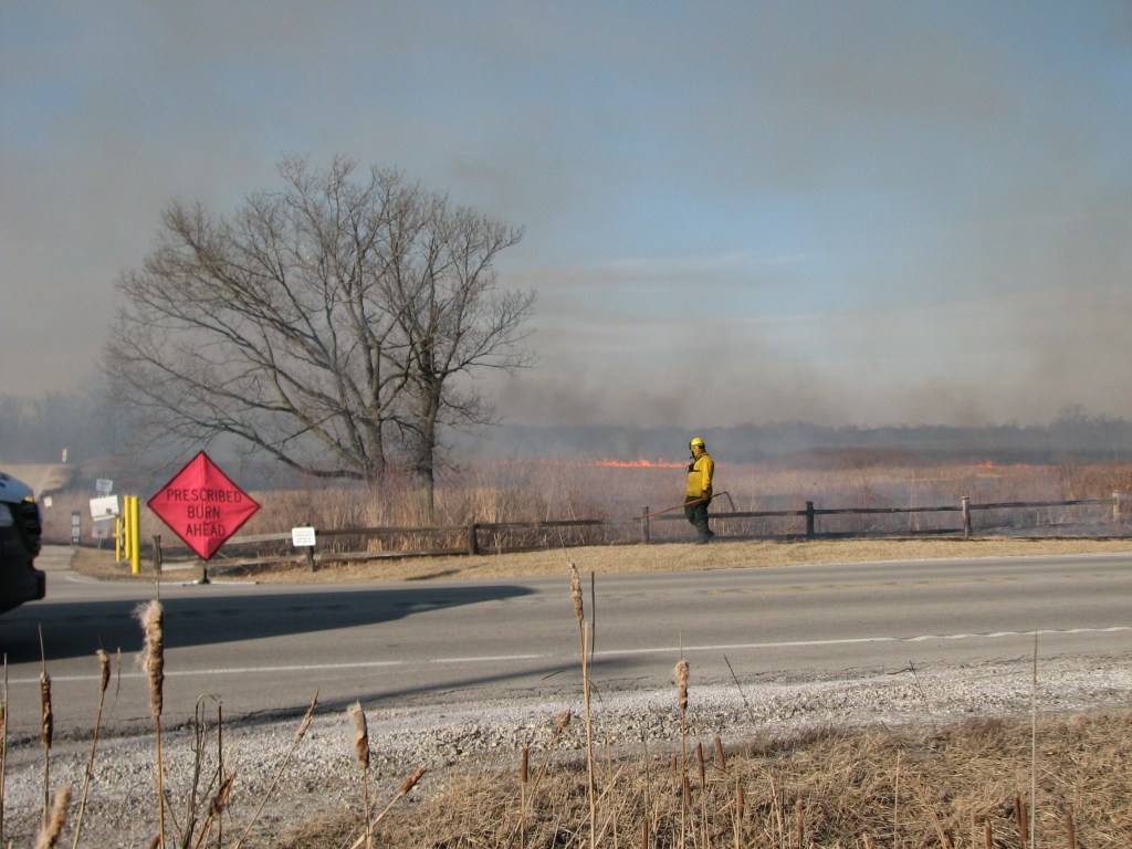
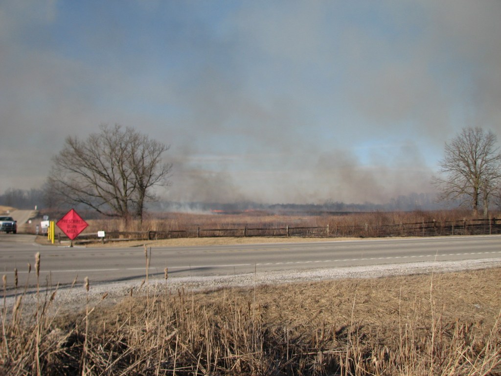
12. Smoke rising as planned
13. A strip of head fire racing toward the back fire line
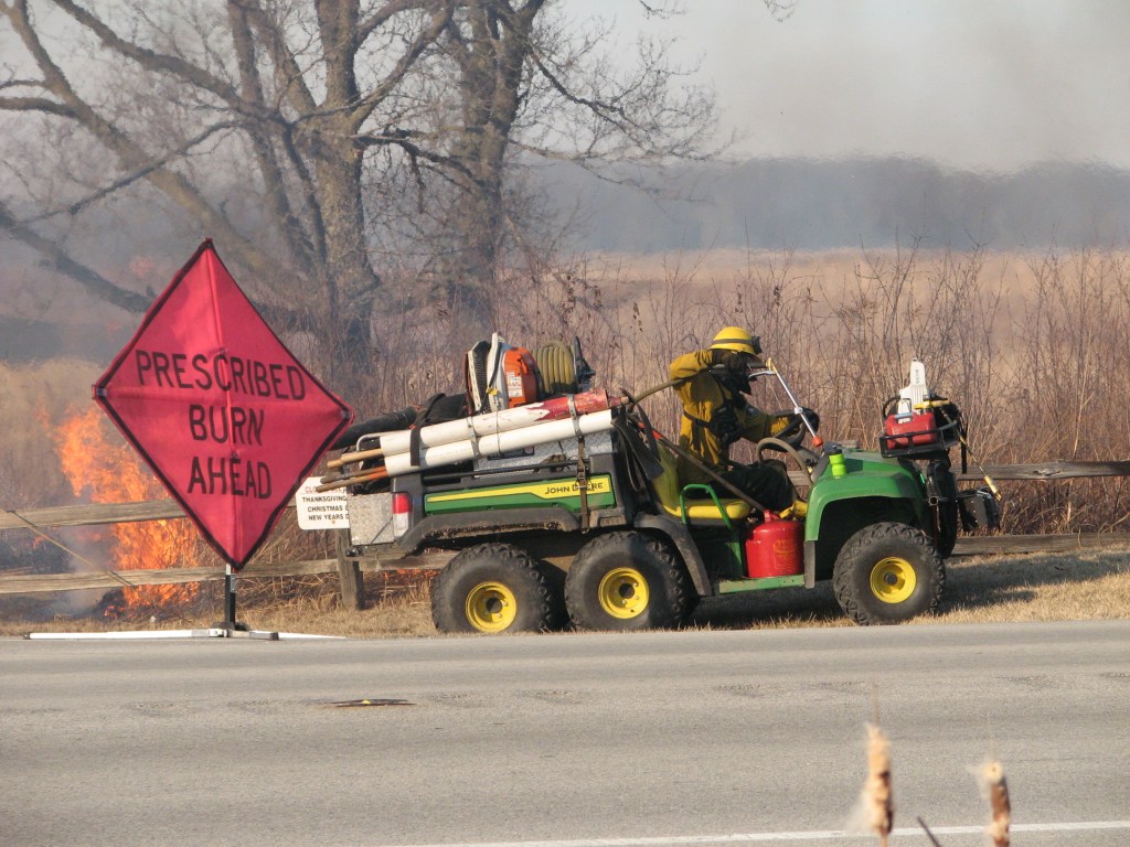
14. Preparing to light a strip along West Palatine Road
15. Black smoke is typical of cattails burning
16. Wider view of above showing black smoke
17. Drawing out the water nozzel to spray down the fence
18. Spraying down the fence
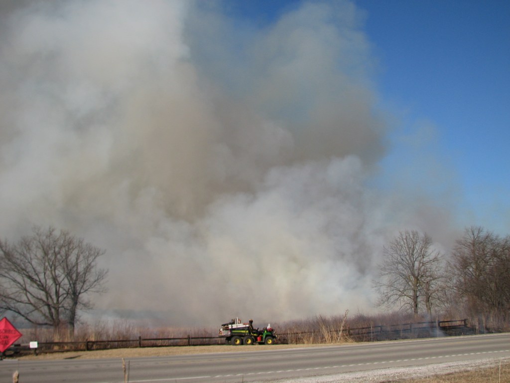
19. Smoke plume with UTV in front to show scale
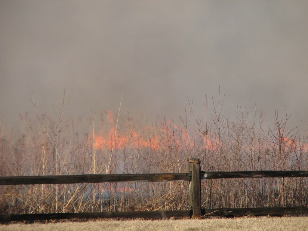
20. Fire in the smoke
21. Fire building as it approaches a wetland
22. Fire burning hot
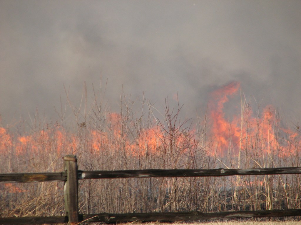
23. Another image of fire burning hot
24. Fire strip on other side of a pond
25. Finishing up
26. Wide view
27. Zoomed in image of strip fire flanking vegetation on far side of a pond

Leave a comment