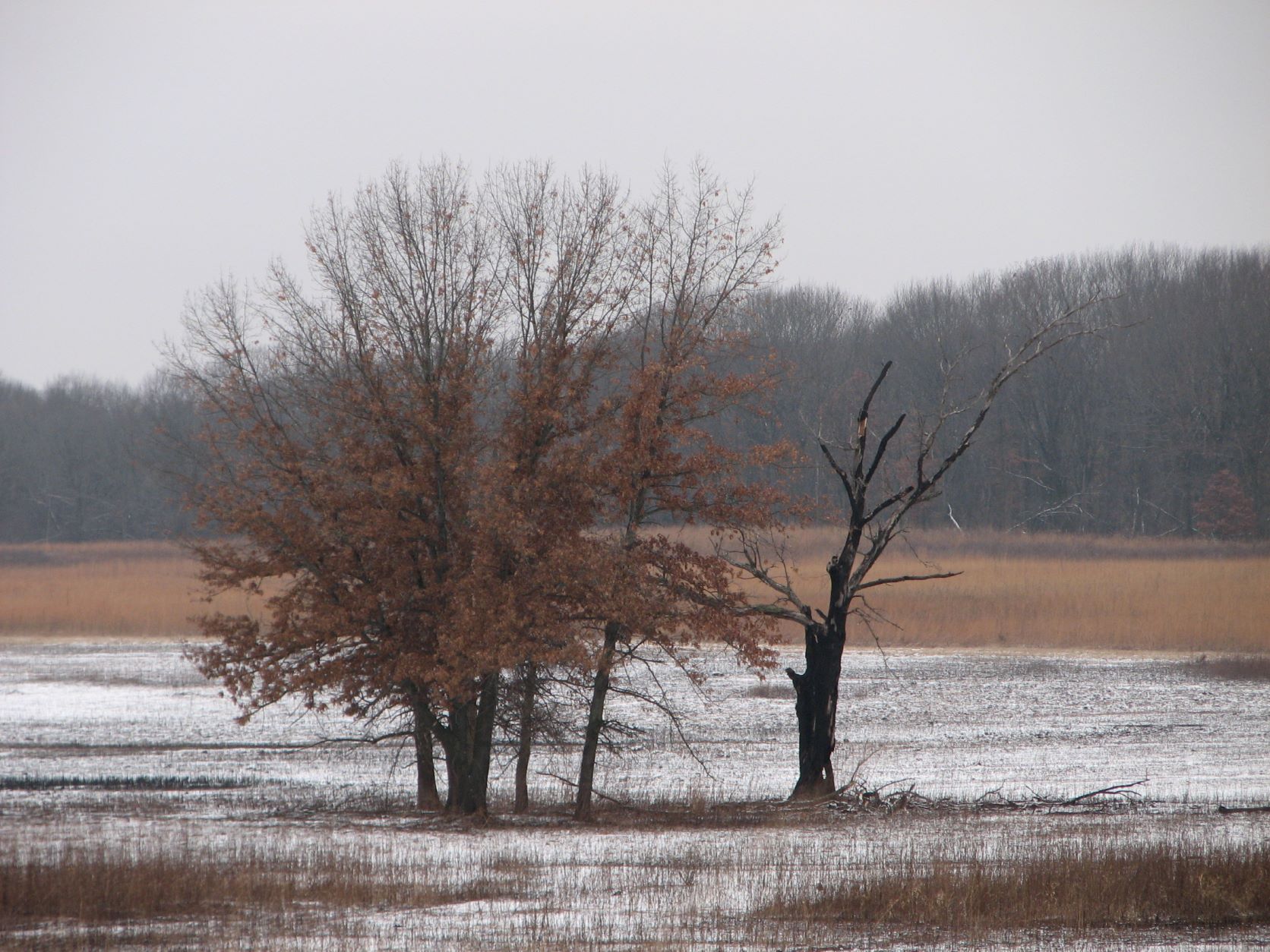
Tag: Burn Scar
-
Poplar Creek, Schaumburg Road Grasslands, 11/22/2025
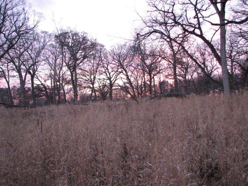
Contents Map Images From Site Views 1. Prairie Grass Just After Sunset 2. Sunset Through Oak Trees 3. Late Fall Color of Birch (Yellow) and Raspberries (Red) with Lotus Seed Pods (Achenes) in Foreground Burn Scar 4. Looking north of the southernmost burn scar on 2/15/2023. 5. Looking north of the southernmost burn scar on…
-
Minimizing Damage From Burn Scars
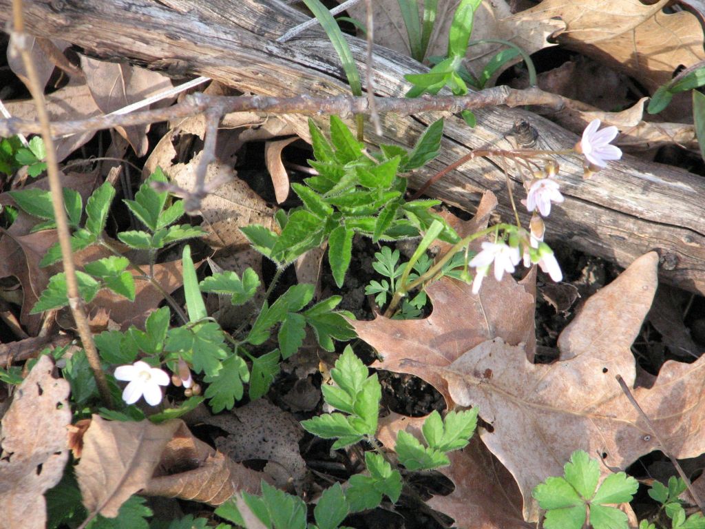
Deer Grove Forest Preserve 4/29/2025 Summary Map Explanation of Images Images From Site Burn Pile Over Snow 3/7/2015 1. Looking North 2. Looking East 3. Looking South 4. Looking West Spring Ephemerals That Emerged Through the Charcoal and Ash 5. Trillium and Erythronium 6. Closer View of Trillium and Charcoal 7. Claytonia virginica 8. Hepatica…
-
Orland Grassland 2/3/2025

Websites with information about the preserve are included below. https://www.orlandgrassland.org/ https://volunteer-fpdcc.givepulse.com/event/414052-orland-grassland-stewardship-volunteer-days https://fpdcc.com/places/locations/orland-grassland/ https://dnr.illinois.gov/inpc/lwr-display.orland-grassland%C2%A0.html Summary Map Images From Site 1. Meeting location according to FPCC volunteer website. 2. Sign at Old Farm Road Trail entrance. 3. View beyond cable gate at Old Farm Road Trail entrance. 4. Looking toward Bobolink Hill. 5. Looking up Bobolink Hill…
-
Skokie River Nature Preserve 1/25/2025

Descriptions of this preserve can be viewed at the following sites. https://dnr.illinois.gov/inpc/area.area2lakeskokieriver.html Summary Map Images From Site 1. View from parking lot toward bike trail 2. Preserve Entrance 3. Monument Rock 4. Aspen encroaching on prairie that had been controlled by girdling. 5. McLaughlin Meadow 6. Nannyberry (Viburnum lentago) and Ninebark (Physocarpus opulifolius) along southern…
-
Baker’s Lake, Barrington Park Campgrounds, 5/27/2024
Barrington Park Campgrounds is one of the best remaining examples of savanna in the Barrington Area. Citizens for Conservation had been managing the site. They control invading woody species and conduct prescribed fire to return this missing ecosystem process back into several area preserves. Summary Map Pretty Pictures Erigeron philadelphicus and comparison images from August…
-
Old Plank Road Prairies May 5th, 2024
Summary Pretty Images of Site Listed Satellite Map of Site Area One Herbicide Application Map – Numbers of Images Labelled on Map Treatment Effectiveness (preliminary) Ring of Death Fires’ Impact on Herbicide Application Effectiveness Fire as a Method to Control Woody Invasive Species Comparison Images Between January 7th and May 5th Bush Honeysuckle That Survived…
-
Old Plank Road Prairie Nature Preserve 1/7/2023

For this post, I visited the Old Plank Road Prairie Nature Preserve. The volunteer group that is working at this preserve posts information on workdays at the following Facebook page. https://www.facebook.com/OPRprairies Summary Satellite Map Herbicide Application Map Location of woody invasive species are mapped and labelled. Further explanation of the map included in this respective section. Images…
-
Glenview Woods 11/19/2023

Summary New Burn Scars The map of burn scars has been updated to show new burn scars that have been made since my 3/18/2023 visit. Herbicide Application I relocated stumps that I had marked on a map during my 3/18/2023 visit as being treated. I surveyed the stumps for sprouting, reported the rate of effectiveness…
-
Spring Creek, Healy Savanna, 8/16/2023 and 8/17/2023

In this post, I visit Healy Savanna. Healy Savanna has prairie areas on top of the ridge, savanna areas into the oak trees, and on the steep eastern facing slope woodland species. Healy Savanna can be accessed by hiking north from the Beverly Lake parking lot. The Beverly Lake parking lot is known for illicit…
-
Spring Creek, the 160, 8/16/2023 and 8/17/2023
In this post, I visited the 160. The 160 is a prairie reconstruction that can be accessed by hiking east from the Beverly Lake parking lot. The Beverly Lake parking lot is known for illicit activity. Therefore, I suggest visiting in a group. A map of the area can be viewed on the previous post…
